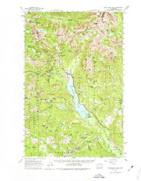
1961 Map of Snoqualmie Pass
USGS Topo · Published 1974About this map
Snoqualmie Pass serves as the central focal point for this survey of the Cascade crest, where the Chicago Milwaukee St Paul and Pacific and Northern Pacific railroads navigate the steep mountain grades. The map documents the high-altitude infrastructure of the early 1960s, including the Stampede Tunnel and small railroad-aligned settlements like Hyak, Rockdale, and Martin. The landscape is dominated by Keechelus Lake and the surrounding peaks of the Snoqualmie National Forest, with clear boundaries for the Seattle and Tacoma municipal water supplies.
Find a feature on this map
169 named features on this map. Tap any name to fly to it.
Don’t see what you’re looking for? This feature index may not catch every label — zoom into the map to look around manually.
Map Details
Editions of this 1961 Snoqualmie Pass Map
3 editions found

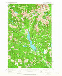
Other maps of this area

1901 · Snoqualmie Pass
USGS Topo · 1:125,000

1902 · Skykomish
USGS Topo · 1:125,000

1903 · Snoqualmie
USGS Topo · 1:125,000

1905 · Skykomish
USGS Topo · 1:125,000

1913 · Cedar Lake
USGS Topo · 1:125,000

1921 · Sultan
USGS Topo · 1:125,000

1923 · Sultan
USGS Topo · 1:125,000

1956 · Greenwater
USGS Topo · 1:62,500

1957 · Wenatchee
USGS Topo · 1:250,000

1960 · Mount Si
USGS Topo · 1:62,500