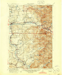
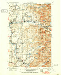
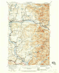
1921 Map of Sultan
USGS Topo · Published 1921About this map
The Snoqualmie National Forest dominates the eastern half of this terrain, where the rugged peaks of Mt Index and Mt Persis rise above the logging-dependent valley. The regional economy is clearly defined by the heavy presence of the Great Northern Railway and the Northern Pacific Railway, alongside numerous Lumber RR spurs that weave through the drainage of the Skykomish and Snoqualmie Rivers. The map documents industrial landmarks such as the Coke Ovens near Snoqualmie and the Apex Mines tucked into the high country near McClain Peaks.
Find a feature on this map
168 named features on this map. Tap any name to fly to it.
Don’t see what you’re looking for? This feature index may not catch every label — zoom into the map to look around manually.
Map Details
Editions of this 1921 Sultan Map
4 editions found

Historical Maps of Everett Through Time
6 maps found