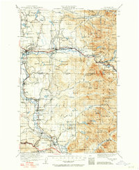
1921 Map of Sultan
USGS Topo · Published 1957About this map
The Skykomish River and its tributaries carve through this landscape at the edge of the Snoqualmie National Forest. Industrial sites are concentrated near the river corridors, including the Hogarty Mill near Gold Bar and the Coke Ovens south of Snoqualmie. Transport is dominated by competing lines, with the Great Northern Railway following the Skykomish while the Chicago Milwaukee and St Paul Railway serves the valley near Carnation and Duvall.
Find a feature on this map
171 named features on this map. Tap any name to fly to it.
Don’t see what you’re looking for? This feature index may not catch every label — zoom into the map to look around manually.
Map Details
Editions of this 1921 Sultan Map
4 editions found

Other maps of this area

1895 · Snohomish
USGS Topo · 1:125,000

1897 · Tacoma
USGS Topo · 1:125,000

1897 · Seattle
USGS Topo · 1:125,000

1899 · Glacier Peak
USGS Topo · 1:125,000

1899 · Stillaguamish
USGS Topo · 1:125,000

1900 · Tacoma
USGS Topo · 1:125,000

1901 · Glacier Peak
USGS Topo · 1:125,000

1901 · Stilaguamish
USGS Topo · 1:125,000

1901 · Snoqualmie Pass
USGS Topo · 1:125,000

1902 · Skykomish
USGS Topo · 1:125,000