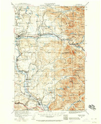
1921 Map of Sultan
USGS Topo · Published 1960About this map
The Skykomish River and the Snoqualmie River define this Pacific Northwest landscape during a period of heavy industrial and agricultural development. Along the river valleys, the Great Northern Railway and Chicago Milwaukee and St Paul RR connect timber and mining outposts with established settlements like Monroe, where the State Reformatory is a prominent landmark. To the south, Snoqualmie Falls sits near the Coke Ovens, indicating the region's early processing of natural resources. In the high country of the Snoqualmie National Forest, remote sites like the Apex Mine and various mountain cabins are accessed through the rugged drainage basins. Local education is anchored by numerous rural institutions, including the Mountain View School and Forest Glade School, serving the families of loggers and mill workers at sites like the Lovegren Mill.
Find a feature on this map
148 named features on this map. Tap any name to fly to it.
Don’t see what you’re looking for? This feature index may not catch every label — zoom into the map to look around manually.
Map Details
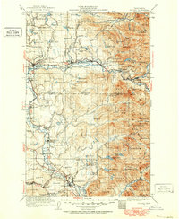
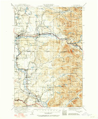
Editions of this 1921 Sultan Map
4 editions found

Other maps of this area

1895 · Snohomish
USGS Topo · 1:125,000

1897 · Tacoma
USGS Topo · 1:125,000

1897 · Seattle
USGS Topo · 1:125,000

1899 · Glacier Peak
USGS Topo · 1:125,000

1899 · Stillaguamish
USGS Topo · 1:125,000

1900 · Tacoma
USGS Topo · 1:125,000

1901 · Glacier Peak
USGS Topo · 1:125,000

1901 · Stilaguamish
USGS Topo · 1:125,000

1901 · Snoqualmie Pass
USGS Topo · 1:125,000

1902 · Skykomish
USGS Topo · 1:125,000