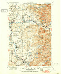
1921 Map of Sultan
USGS Topo · Published 1952About this map
Sultan and the Skykomish River valley anchor this early 20th-century topographic record, where the industrial extraction of timber and minerals meets the rising agricultural communities of the valley floor. The extensive network of the Lumber RR and numerous logging spurs highlight the era’s intensive timber industry, while the Apex Mine and Coke Ovens near Snoqualmie Falls point to the diverse resource economy of the period.
Find a feature on this map
163 named features on this map. Tap any name to fly to it.
Don’t see what you’re looking for? This feature index may not catch every label — zoom into the map to look around manually.
Map Details
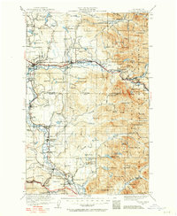
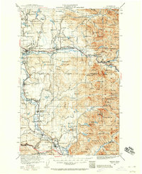
Editions of this 1921 Sultan Map
4 editions found

Other maps of this area

1895 · Snohomish
USGS Topo · 1:125,000

1897 · Tacoma
USGS Topo · 1:125,000

1897 · Seattle
USGS Topo · 1:125,000

1899 · Glacier Peak
USGS Topo · 1:125,000

1899 · Stillaguamish
USGS Topo · 1:125,000

1900 · Tacoma
USGS Topo · 1:125,000

1901 · Glacier Peak
USGS Topo · 1:125,000

1901 · Stilaguamish
USGS Topo · 1:125,000

1901 · Snoqualmie Pass
USGS Topo · 1:125,000

1902 · Skykomish
USGS Topo · 1:125,000