
1905 Map of Skykomish
USGS Topo · Published 1905About this map
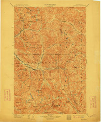
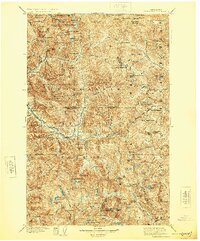
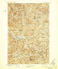
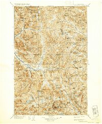
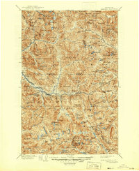
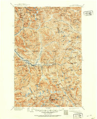
The Great Northern railroad anchors this 1905 landscape, cutting a vital industrial path through the high peaks of the Washington Forest Reserve. This survey captures the critical mountain corridor just after the completion of the original Cascade Tunnel, showing the precarious rail settlements of Wellington and Madison McCain PO perched near the pass. The map documents a rugged transition as the mining boom that fueled remote outposts like Monte Cristo, Mineral City, and Galena began to give way to the more permanent timber and rail infrastructure seen along the North Fork Skykomish River. Significant landmarks such as Index Mt, Sobiesky Mt, and the high waters of Blanca Lake define the terrain, while early towns like Skykomish, Index, and Baring serve as the primary valley hubs for the region's early twentieth-century development.
Find a feature on this map
126 named features on this map. Tap any name to fly to it.
Don’t see what you’re looking for? This feature index may not catch every label — zoom into the map to look around manually.
Map Details
Editions of this 1905 Skykomish Map
7 editions found
Other maps of this area

1897 · Mount Stuart
USGS Topo · 1:125,000

1899 · Glacier Peak
USGS Topo · 1:125,000

1899 · Stillaguamish
USGS Topo · 1:125,000

1901 · Glacier Peak
USGS Topo · 1:125,000

1901 · Stilaguamish
USGS Topo · 1:125,000

1901 · Chiwaukum
USGS Topo · 1:125,000

1901 · Snoqualmie Pass
USGS Topo · 1:125,000

1902 · Skykomish
USGS Topo · 1:125,000

1902 · Mount Stuart
USGS Topo · 1:125,000

1902 · Stehekin
USGS Topo · 1:125,000