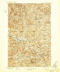
1905 Map of Skykomish
USGS Topo · Published 1932About this map
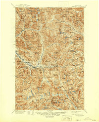
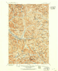
The Great Northern Railway dictates the settlement pattern of this mountain landscape at the turn of the century, following the South Fork Skykomish River as it climbs toward the crest of the Cascades. Tiny railway stops and mountain hamlets like Skykomish, Baring, and Scenic anchor the corridor, providing vital support for the steep grade and the massive engineering feat of the Cascade Tunnel near the eastern boundary. North of the main line, the map documents the mining-related outposts of Mineral City and Galena along the North Fork Skykomish River. These high-altitude settlements reflect an era of intense prospecting and logging within the Snoqualmie National Forest, where the topography transitions from deep river canyons to prominent peaks such as Baring Mountain and Gunn Peak. The survey captures a moment when industrial transport and wilderness extraction defined the region's geography.
Find a feature on this map
222 named features on this map. Tap any name to fly to it.
Don’t see what you’re looking for? This feature index may not catch every label — zoom into the map to look around manually.
Map Details
Editions of this 1905 Skykomish Map
7 editions found

Other maps of this area

1897 · Mount Stuart
USGS Topo · 1:125,000

1899 · Glacier Peak
USGS Topo · 1:125,000

1899 · Stillaguamish
USGS Topo · 1:125,000

1901 · Glacier Peak
USGS Topo · 1:125,000

1901 · Stilaguamish
USGS Topo · 1:125,000

1901 · Chiwaukum
USGS Topo · 1:125,000

1901 · Snoqualmie Pass
USGS Topo · 1:125,000

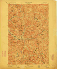
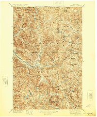
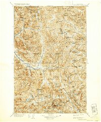
1902 · Skykomish
USGS Topo · 1:125,000

1902 · Mount Stuart
USGS Topo · 1:125,000

1902 · Stehekin
USGS Topo · 1:125,000