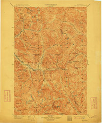
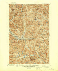
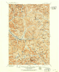
1905 Map of Skykomish
USGS Topo · Published 1911About this map
Monte Cristo and Mineral City represent the early 20th-century mining and logging character of this high mountain region. The Great Northern Railway serves as the primary artery through the landscape, featuring the engineering feat of the Cascade Tunnel near Wellington. This infrastructure enabled the development of small settlements like Berlin, Baring, and Skykomish along the river valleys.
Find a feature on this map
127 named features on this map. Tap any name to fly to it.
Don’t see what you’re looking for? This feature index may not catch every label — zoom into the map to look around manually.
Map Details
Editions of this 1905 Skykomish Map
7 editions found

Other maps of this area

1897 · Mount Stuart
USGS Topo · 1:125,000

1899 · Glacier Peak
USGS Topo · 1:125,000

1899 · Stillaguamish
USGS Topo · 1:125,000

1901 · Glacier Peak
USGS Topo · 1:125,000

1901 · Stilaguamish
USGS Topo · 1:125,000

1901 · Chiwaukum
USGS Topo · 1:125,000

1901 · Snoqualmie Pass
USGS Topo · 1:125,000

1902 · Skykomish
USGS Topo · 1:125,000

1902 · Mount Stuart
USGS Topo · 1:125,000

1902 · Stehekin
USGS Topo · 1:125,000