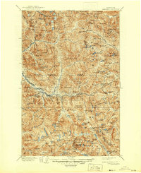
1905 Map of Skykomish
USGS Topo · Published 1946About this map
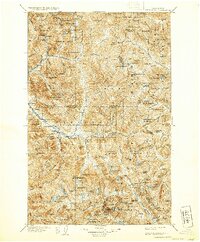
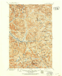
Monte Cristo and the high mining camps of the northern Cascades dominate this turn-of-the-century landscape. Surveyed between 1897 and 1902, the map documents the area during a period of intense extraction and industrial transit. The Great Northern Railway cuts through the center of the sheet, navigating the steep grade toward the Cascade Tunnel, linking small railroad settlements like Scenic, Tye, and Tonga. These rail stops and the presence of mining sites like Big Gulch indicate a geography defined by the movement of ore and timber from the deep interiors of the Snoqualmie National Forest.
Find a feature on this map
199 named features on this map. Tap any name to fly to it.
Don’t see what you’re looking for? This feature index may not catch every label — zoom into the map to look around manually.
Map Details
Editions of this 1905 Skykomish Map
7 editions found

Other maps of this area

1897 · Mount Stuart
USGS Topo · 1:125,000

1899 · Glacier Peak
USGS Topo · 1:125,000

1899 · Stillaguamish
USGS Topo · 1:125,000

1901 · Glacier Peak
USGS Topo · 1:125,000

1901 · Stilaguamish
USGS Topo · 1:125,000

1901 · Chiwaukum
USGS Topo · 1:125,000

1901 · Snoqualmie Pass
USGS Topo · 1:125,000

1902 · Skykomish
USGS Topo · 1:125,000

1902 · Mount Stuart
USGS Topo · 1:125,000

1902 · Stehekin
USGS Topo · 1:125,000