
1923 Map of Sultan
USGS Topo · Published 1923About this map
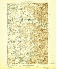
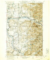
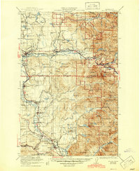
The Skykomish River valley serves as a primary corridor for settlement and industry in this 1923 survey, anchored by the towns of Monroe, Sultan, and Gold Bar. The Great Northern Railway follows the river's path, facilitating the movement of timber and minerals through the steep terrain of the Snoqualmie National Forest. Further south, the Snoqualmie River flows past Duvall and Carnation, where the landscape transitions into agricultural flats before reaching the dramatic Snoqualmie Falls.
Find a feature on this map
128 named features on this map. Tap any name to fly to it.
Don’t see what you’re looking for? This feature index may not catch every label — zoom into the map to look around manually.
Map Details
Editions of this 1923 Sultan Map
4 editions found
Other maps of this area

1895 · Snohomish
USGS Topo · 1:125,000

1897 · Tacoma
USGS Topo · 1:125,000

1897 · Seattle
USGS Topo · 1:125,000

1899 · Glacier Peak
USGS Topo · 1:125,000

1899 · Stillaguamish
USGS Topo · 1:125,000

1900 · Tacoma
USGS Topo · 1:125,000

1901 · Glacier Peak
USGS Topo · 1:125,000

1901 · Stilaguamish
USGS Topo · 1:125,000

1901 · Snoqualmie Pass
USGS Topo · 1:125,000

1902 · Skykomish
USGS Topo · 1:125,000