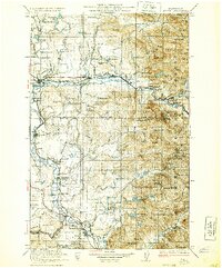
1923 Map of Sultan
USGS Topo · Published 1930About this map
Snoqualmie Falls and the surrounding river valleys anchor this early twentieth-century survey of the Western Cascades foothills. The landscape is defined by the heavy presence of the timber and rail industries, evidenced by the Great Northern RR and the Chicago Milwaukee St Paul and Pacific RR tracing the river bends. This era captures the transition of frontier settlements into established agricultural and industrial hubs, with small community centers like Startup and Stillwater serving the local population.
Find a feature on this map
158 named features on this map. Tap any name to fly to it.
Don’t see what you’re looking for? This feature index may not catch every label — zoom into the map to look around manually.
Map Details
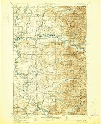
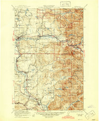
Editions of this 1923 Sultan Map
4 editions found

Other maps of this area

1895 · Snohomish
USGS Topo · 1:125,000

1897 · Tacoma
USGS Topo · 1:125,000

1897 · Seattle
USGS Topo · 1:125,000

1899 · Glacier Peak
USGS Topo · 1:125,000

1899 · Stillaguamish
USGS Topo · 1:125,000

1900 · Tacoma
USGS Topo · 1:125,000

1901 · Glacier Peak
USGS Topo · 1:125,000

1901 · Stilaguamish
USGS Topo · 1:125,000

1901 · Snoqualmie Pass
USGS Topo · 1:125,000

1902 · Skykomish
USGS Topo · 1:125,000