
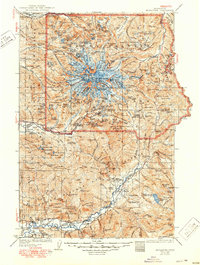
1928 Map of Mt Rainier
USGS Topo · Published 1928About this map
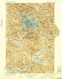
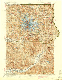
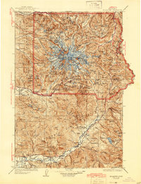
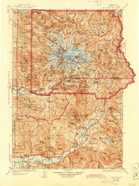
Mt Rainier National Park and the adjacent Rainier National Forest dominate this landscape, centered on the towering volcanic massif of Mt Rainier. In this era, the park's accessibility is defined by early infrastructure like the West Side Highway and administrative outposts such as Longmire, which served as a focal point for visitors and rangers alike. The map captures a sophisticated network of glaciers including the Emmons Glacier, Carbon Glacier, and Nisqually Glacier, radiating from Columbia Crest and Liberty Cap.
Find a feature on this map
103 named features on this map. Tap any name to fly to it.
Don’t see what you’re looking for? This feature index may not catch every label — zoom into the map to look around manually.
Map Details
Editions of this 1928 Mt Rainier Map
6 editions found
Other maps of this area

1897 · Tacoma
USGS Topo · 1:125,000

1900 · Tacoma
USGS Topo · 1:125,000

1901 · Snoqualmie Pass
USGS Topo · 1:125,000

1902 · Mount Aix
USGS Topo · 1:125,000

1903 · Snoqualmie
USGS Topo · 1:125,000

1904 · Mt Aix
USGS Topo · 1:125,000

1904 · Mount Adams
USGS Topo · 1:125,000

1907 · Mount Adams
USGS Topo · 1:125,000

1913 · Cedar Lake
USGS Topo · 1:125,000

1919 · Mount St Helens
USGS Topo · 1:125,000