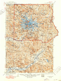
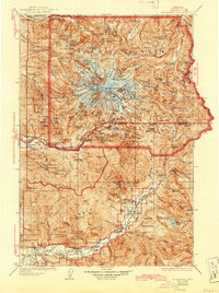
1928 Map of Mt Rainier
USGS Topo · Published 1950About this map
Mt Rainier dominates this 1920s survey, showing the peak before the modern infrastructure of the mid-20th century. The ice-capped summit, including Liberty Cap and Columbia Crest, is surrounded by a dense network of ranger stations and patrol cabins that monitored the Mount Rainier National Park backcountry. To the south, the Cowlitz River valley contains early 20th-century settlements like Randle and Packwood, as well as small rural education centers such as Siler School and Cora School.
Find a feature on this map
164 named features on this map. Tap any name to fly to it.
Don’t see what you’re looking for? This feature index may not catch every label — zoom into the map to look around manually.
Map Details
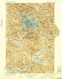
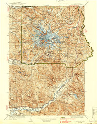
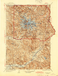
Editions of this 1928 Mt Rainier Map
6 editions found

Other maps of this area

1897 · Tacoma
USGS Topo · 1:125,000

1900 · Tacoma
USGS Topo · 1:125,000

1901 · Snoqualmie Pass
USGS Topo · 1:125,000

1902 · Mount Aix
USGS Topo · 1:125,000

1903 · Snoqualmie
USGS Topo · 1:125,000

1904 · Mt Aix
USGS Topo · 1:125,000

1904 · Mount Adams
USGS Topo · 1:125,000

1907 · Mount Adams
USGS Topo · 1:125,000

1913 · Cedar Lake
USGS Topo · 1:125,000

1919 · Mount St Helens
USGS Topo · 1:125,000