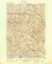
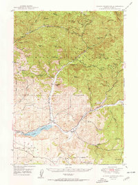
1926 Map of Mitchell
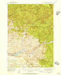
USGS Topo · Published 1948About this map
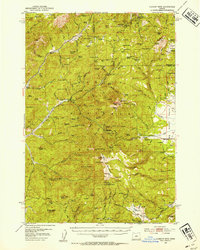
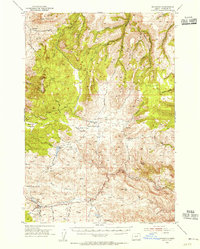
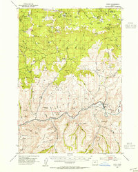
The John Day River winds through this high desert region, carving a deep canyon landscape where the complex geology of the Painted Hills and Sutton Mountain is clearly visible. This survey, based on data from 1916 and the early 1920s, shows the area when isolated cattle ranches and small schools formed the backbone of local society. Notable outposts like Clarno and Mitchell serve as primary hubs, while the landscape is dotted with family operations such as the Old Frizzell Ranch and Wagner Ranch.
Find a feature on this map
119 named features on this map. Tap any name to fly to it.
Don’t see what you’re looking for? This feature index may not catch every label — zoom into the map to look around manually.
Map Details
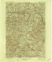
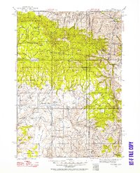
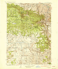
Editions of this 1926 Mitchell Map
3 editions found
Other maps of this area

1916 · Condon
USGS Topo · 1:125,000

1926 · Mitchell
USGS Topo · 1:125,000
1932 · Dayville
USGS Topo · 1:125,000
1936 · Dayville
USGS Topo · 1:125,000
1948 · Ochoco Reservoir
USGS Topo · 1:62,500
1950 · Ochoco Reservoir
USGS Topo · 1:62,500
1951 · Lookout Mtn
USGS Topo · 1:62,500
1953 · Richmond
USGS Topo · 1:62,500
1953 · Spray
USGS Topo · 1:62,500

1953 · Pendleton
USGS Topo · 1:250,000