
1951 Map of Monument
USGS Topo · Published 1953About this map
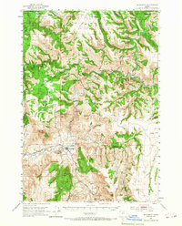
The confluence of three major river systems dominates this 1951 landscape, where the North Fork John Day River and Middle Fork John Day River join to form the main John Day River. The small settlement of Monument serves as the focal point of the region, positioned near a Gaging Sta and just north of the prominent Monument Mtn. To the west, the village of Kimberly sits at the junction of the Kimberly Road and the river, marking a gateway to the more mountainous terrain of the Umatilla National Forest.
Find a feature on this map
73 named features on this map. Tap any name to fly to it.
Don’t see what you’re looking for? This feature index may not catch every label — zoom into the map to look around manually.
Map Details
Editions of this 1951 Monument Map
3 editions found
Other maps of this area

1949 · Long Creek
USGS Topo · 1:62,500

1950 · Ritter
USGS Topo · 1:62,500

1951 · Long Creek
USGS Topo · 1:62,500

1951 · Courtrock
USGS Topo · 1:62,500

1952 · Ritter
USGS Topo · 1:62,500

1953 · Kimberly
USGS Topo · 1:62,500

1953 · Picture
USGS Topo · 1:62,500

1953 · Pendleton
USGS Topo · 1:250,000

1955 · Canyon City
USGS Topo · 1:250,000

1956 · Pendleton
USGS Topo · 1:250,000