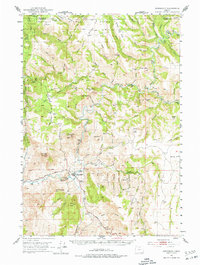
1951 Map of Monument
USGS Topo · Published 1977About this map
The North Fork and Middle Fork of the John Day River converge near the settlement of Monument in this mid-century topographic record. This area of eastern Oregon is characterized by a high-elevation landscape of named ridges and drainages, much of which is encompassed by the Umatilla National Forest. The map documents early infrastructure and land use, including a Quarry near Kimberly Road and a Gaging Sta along the river. Of particular interest to local historians are the indicators of earlier community life, such as the Top School (Aban'd) and a riverside Cem. Landmark names like Jack of Clubs, Johnny Cake Mtn, and Monument Mtn provide specific geographical anchors for researchers tracing family history or early land grants in Grant and Morrow counties.
Find a feature on this map
86 named features on this map. Tap any name to fly to it.
Don’t see what you’re looking for? This feature index may not catch every label — zoom into the map to look around manually.
Map Details
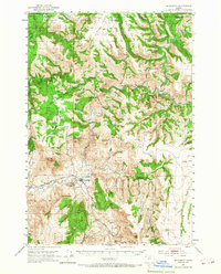
Editions of this 1951 Monument Map
3 editions found
Other maps of this area

1949 · Long Creek
USGS Topo · 1:62,500

1950 · Ritter
USGS Topo · 1:62,500

1951 · Long Creek
USGS Topo · 1:62,500

1951 · Courtrock
USGS Topo · 1:62,500

1951 · Monument
USGS Topo · 1:62,500

1952 · Ritter
USGS Topo · 1:62,500

1953 · Kimberly
USGS Topo · 1:62,500

1953 · Picture
USGS Topo · 1:62,500

1953 · Pendleton
USGS Topo · 1:250,000

1955 · Canyon City
USGS Topo · 1:250,000