Old Maps of Lonerock, Oregon for Hiking & Exploration
Hike through history with 16 historic maps of Lonerock. Explore old trails, ghost towns, and forgotten backroads — perfect for outdoor adventurers and local explorers.
- Rediscover forgotten places: Map out old mining camps, roads, and footpaths that no longer exist on modern maps.
- Layer with modern tools: Combine with LiDAR or satellite views to plan hikes through historical terrain.
- Made for exploration: Popular among hikers, overlanders, and local history lovers.
Use these maps to find adventure and explore the hidden past of Lonerock.
Lonerock, OR maps
(16)- 1953 Map of Pendleton, 1957 Print
 1953 Pendleton1957 Print · USGSNortheastern Oregon and the Columbia River frontier are captured here in the early fifties, a time of massive federal infrastructure projects. Researchers can trace the historic route of The Old Oregon Trail as it passes near the Umatilla Ordnance Depot and the new McNary Dam.4 unique versions available
 - 1956 Map of Pendleton
 1956 Pendleton1956 Print · USGSNortheastern Oregon’s high plateau and timbered peaks appear here in the mid-fifties, during a time of major military and hydroelectric development. Trace the path of The Old Oregon Trail alongside modern landmarks like McNary Dam and the Umatilla Ordnance Depot.
 - 1969 Map of Lefevre Prairie, 1972 Print
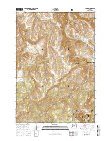
 1969 Lefevre Prairie1972 Print · USGSHigh-country prairies and deep canyons meet at the intersection of three counties during the late sixties. Genealogists and hikers can trace the Lonerock Cem, explore the reaches of The Frog, or follow the timbered boundaries of the Umatilla National Forest.2 unique versions available
 - 1969 Map of Lonerock, 1973 Print
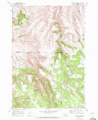
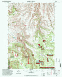
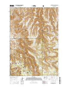
 1969 Lonerock1973 Print · USGSLonerock and the high plateau country of the Gilliam and Wheeler county line appear here as they were in the late sixties. Genealogists and researchers can locate the Lonerock settlement and local Cem, or trace landmarks like Cone Mill and the Jeep Tr.2 unique versions available
 - 1981 Map of Heppner
 1981 Heppner1981 Print · USGSNorth-Central Oregon's canyon country comes into focus in the early 1980s, centered on the high-desert plateaus and timbered slopes of Morrow County. Researchers can trace the Union Pacific rail corridor and find remote landmarks like Lonerock, Hardman, and the high peaks of the Umatilla National Forest.
 - 1995 Map of Lonerock, 1998 Print
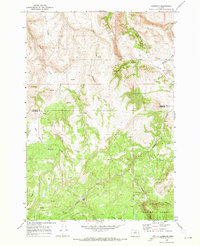
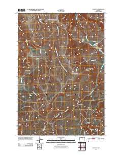
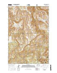
 1995 Lonerock1998 Print · USGSLonerock and the surrounding Gilliam County highlands are captured here in the mid-1990s as the town remained a quiet outpost near the national forest. Researchers can trace land boundaries near Lonerock, the route of Lonerock Road, and natural landmarks like Cone Mt.
 - 1995 Map of Lefevre Prairie, 1998 Print
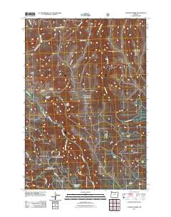
 1995 Lefevre Prairie1998 Print · USGSThe high plateau of the Blue Mountains in the mid-nineties shows a landscape of timber and isolated prairies at the meeting of three Oregon counties. Researchers can trace land boundaries near Lonerock Cemetery or locate remote water features like Brandenburg Reservoir and The Frog.
 - 2011 Map of Lefevre Prairie, 2011 Print
 2011 Lefevre Prairie2011 Print · USGSCovers Lonerock, including Wheeler County, Gilliam County, and other nearby areas
 - 2011 Map of Lonerock, 2011 Print
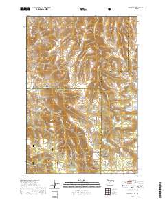
 2011 Lonerock2011 Print · USGSCovers Lonerock, including Wheeler County, Gilliam County, and other nearby areas
 - 2014 Map of Lonerock, 2014 Print
 2014 Lonerock2014 Print · USGSCovers Lonerock, including Wheeler County, Gilliam County, and other nearby areas
 - 2014 Map of Lefevre Prairie, 2014 Print
 2014 Lefevre Prairie2014 Print · USGSCovers Lonerock, including Wheeler County, Gilliam County, and other nearby areas
 - 2017 Map of Lonerock, 2017 Print
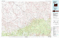
 2017 Lonerock2017 Print · USGSCovers Lonerock, including Wheeler County, Gilliam County, and other nearby areas
 - 2020 Map of Lonerock, 2020 Print
 2020 Lonerock2020 Print · USGSCovers Lonerock, including Wheeler County, Gilliam County, and other nearby areas
 - 2020 Map of Lefevre Prairie, 2020 Print
 2020 Lefevre Prairie2020 Print · USGSCovers Lonerock, including Wheeler County, Gilliam County, and other nearby areas
 - 2024 Map of Lonerock, 2024 Print
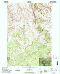
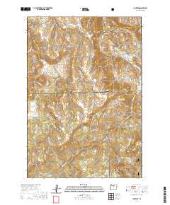
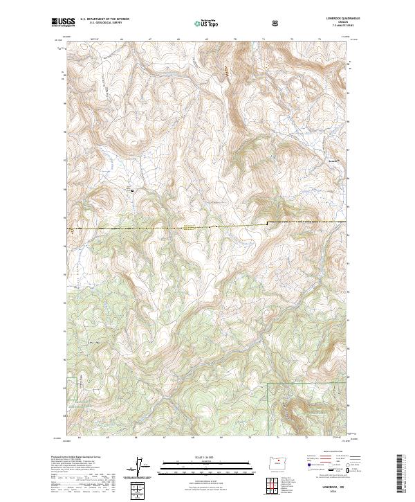 2024 Lonerock2024 Print · USGSLonerock and the high-plateau border of Gilliam and Wheeler counties are shown in this 2024 survey. Trace local history at Lost Valley Cem or follow the deep drainage of Lone Rock Creek and Boone Canyon into the Umatilla National Forest.
 - 2024 Map of Lefevre Prairie, 2024 Print
 2024 Lefevre Prairie2024 Print · USGSThe high plateaus of Gilliam County are captured in this modern survey of the Oregon backcountry. Genealogists and local historians can trace family ties at Lonerock Cem and explore named landmarks like Lefevre Prairie and Brandenburg Reservoir.
End of results
Showing maps 1-16 of 16
Frequently asked questions
- What are the different types of historical maps available for Lonerock?
- What is the oldest map of Lonerock?
- Where can I purchase historical maps of Lonerock for my home or office?
- Where can I download high-res historical maps of Lonerock?
- Are there historical topographic maps available for Lonerock?
- Is there historical aerial imagery available for Lonerock?
- Where are historical maps of Lonerock sourced from?