Old Maps of Suntex, Oregon for Hiking & Exploration
Hike through history with 9 historic maps of Suntex. Explore old trails, ghost towns, and forgotten backroads — perfect for outdoor adventurers and local explorers.
- Rediscover forgotten places: Map out old mining camps, roads, and footpaths that no longer exist on modern maps.
- Layer with modern tools: Combine with LiDAR or satellite views to plan hikes through historical terrain.
- Made for exploration: Popular among hikers, overlanders, and local history lovers.
Use these maps to find adventure and explore the hidden past of Suntex.
Suntex, OR maps
(9)- 1955 Map of Burns, 1964 Print
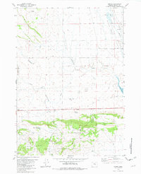
 1955 Burns1964 Print · USGSHarney County's high desert ranching and timber heartland is captured here in the mid-fifties, centered on the hub of Burns and Hines. Genealogists and researchers can locate remote landmarks like the Suntex School, New Princeton P. O., and the Lumber Mill.3 unique versions available
 - 1958 Map of Burns
 1958 Burns1958 Print · USGSHarney County ranching and timber lands are captured here in the late fifties. Genealogists and local historians can trace family holdings and rural institutions, from the Kimball Flat School to remote outposts like Crow Camp Ranch and the Sutton Ranch.
 - 1959 Map of Burns
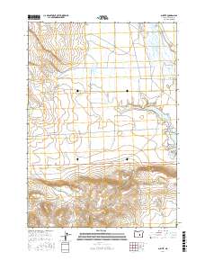
 1959 Burns1959 Print · USGSHarney County in the late fifties remains a landscape of high-desert ranching and timber production, centered on the hubs of Burns and Hines. Researchers can locate remote rural institutions like the Suntex School or trace family landholdings such as the Stallard Ranch and O'Keefe Homestead.
 - 1981 Map of Suntex, 1982 Print
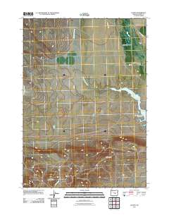
 1981 Suntex1982 Print · USGSHarney County's high desert ranching country is captured here in the early eighties, centered on the Silver Creek Valley and its water networks. Researchers can trace land use at the Squaw Butte Range Experiment Station or locate remote sites like the Tin Mine (Site) and McGee Ranch.
 - 1993 Map of Burns
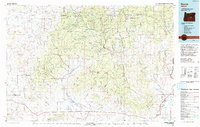 1993 Burns1993 Print · USGSThe Harney County high desert and timbered uplands are captured here in the early nineties, centered on the ranching hubs of Burns and Hines. Trace the vital water systems of the Silvies River and Chickahominy Reservoir alongside landmarks like Wagontire Mountain.
 - 2011 Map of Suntex, 2011 Print
 2011 Suntex2011 Print · USGSCovers Suntex, including Harney County, United States, and other nearby areas
 - 2014 Map of Suntex, 2014 Print
 2014 Suntex2014 Print · USGSCovers Suntex, including Harney County, United States, and other nearby areas
 - 2017 Map of Suntex, 2017 Print
 2017 Suntex2017 Print · USGSCovers Suntex, including Harney County, United States, and other nearby areas
 - 2024 Map of Suntex, 2024 Print
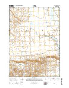
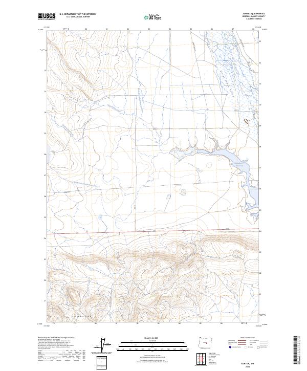 2024 Suntex2024 Print · USGSHarney County's high-desert ranching country is documented here in recent years, showing the essential water systems of the Oregon interior. Trace the landscape from Chickahominy Reservoir to Juniper Ridge along local routes like Mayo Ranch Ln.
End of results
Showing maps 1-9 of 9
Frequently asked questions
- What are the different types of historical maps available for Suntex?
- What is the oldest map of Suntex?
- Where can I purchase historical maps of Suntex for my home or office?
- Where can I download high-res historical maps of Suntex?
- Are there historical topographic maps available for Suntex?
- Is there historical aerial imagery available for Suntex?
- Where are historical maps of Suntex sourced from?