2020s Maps of Wheeler, Oregon
Explore 4 historic maps of Wheeler from the 2020s. These maps offer a rare glimpse into what life looked like during the 2020s — showing old roads, neighborhoods, homes, and landmarks that have changed or disappeared over time.
Whether you're researching your family's past, planning a metal detecting trip, or studying how Wheeler's landscape evolved across the 2020s, these high-resolution maps are a powerful tool for exploring the history of this region.
- Focus on a specific era: All maps on this page are from the 2020s, giving you a focused view of this time period.
- See what’s changed: Compare century-old streets, trails, and buildings to today's modern landscape using overlays and satellite layers.
- Research with precision: Use these maps for genealogy, historical research, land use analysis, or educational projects.
- View, download, or print: Maps are fully viewable online in high resolution, and can be downloaded or printed for your own records.
Start exploring Wheeler's history through authentic maps from the 2020s. This is your window into the past.
Wheeler, OR maps
(4)- 2020 Map of Foley Peak, 2020 Print
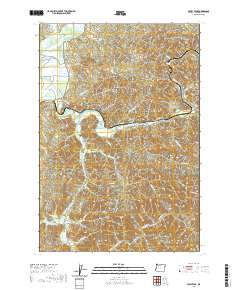 2020 Foley Peak2020 Print · USGSCovers Wheeler, including Mohler, Barnesdale, and other nearby areas
 - 2020 Map of Nehalem, 2020 Print
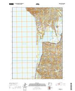 2020 Nehalem2020 Print · USGSCovers Wheeler, including Rockaway Beach, Manzanita, and other nearby areas
 - 2023 Map of Foley Peak, 2023 Print
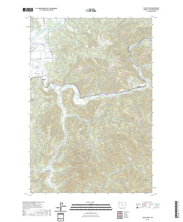 2023 Foley Peak2023 Print · USGSThe Nehalem River valley and surrounding Coast Range peaks come into sharp focus in this 2023 study of Tillamook County. Genealogists and historians can trace riverside settlements like Mohler and Batterson or the rugged forest routes leading toward Foley Peak.
 - 2024 Map of Nehalem, 2024 Print
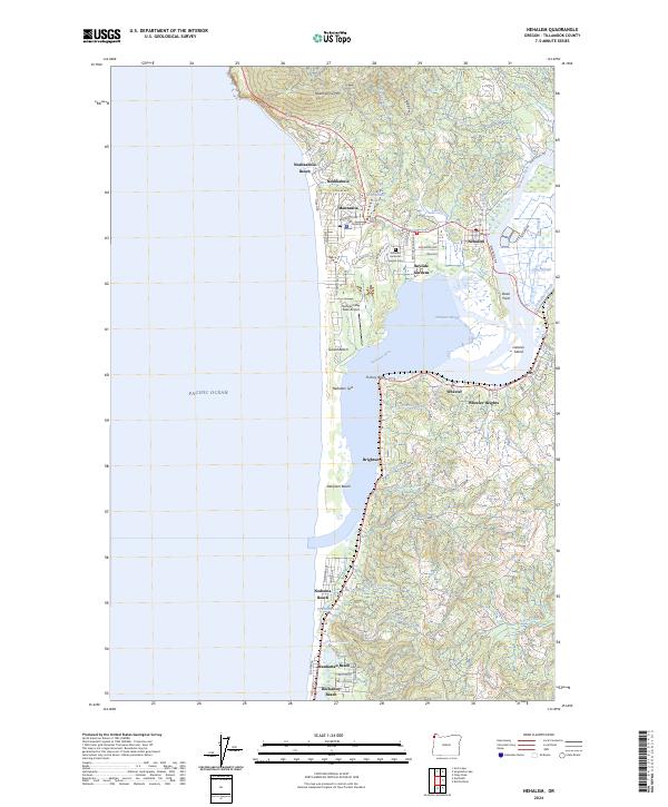 2024 Nehalem2024 Print · USGSThe Oregon coast at the Nehalem River estuary comes alive in this detailed recent survey of the region's shoreline and river towns. Genealogy and history researchers can trace the streets of Manzanita, find the Nehalem American Legion Cem, and explore the marshes around Dean Point.
End of results
Showing maps 1-4 of 4
Top cities near Wheeler
- Tillamook historical maps
- Cannon Beach historical maps
- Rockaway Beach historical maps
- Bay City historical maps
- Garibaldi historical maps
- Manzanita historical maps
See more
Top neighborhoods of Wheeler
Frequently asked questions
- What are the different types of historical maps available for Wheeler?
- What is the oldest map of Wheeler?
- Where can I purchase historical maps of Wheeler for my home or office?
- Where can I download high-res historical maps of Wheeler?
- Are there historical topographic maps available for Wheeler?
- Is there historical aerial imagery available for Wheeler?
- Where are historical maps of Wheeler sourced from?