Old Maps of West Slope, Washington County for Genealogy
Trace your family roots with 37 historic maps of West Slope. These high-res maps reveal old neighborhoods, homesites, landmarks, and streets — helping you uncover where your ancestors lived and how the area evolved over time.
- Explore historic neighborhoods: Identify where your relatives may have lived in the 1800s or 1900s.
- Compare maps over time: Trace the changes in streets, buildings, and landmarks for multi-generational research.
- Perfect for genealogy & ancestry research: Used by family historians and researchers to map out lineage and migration.
These maps are an incredible resource for exploring your personal connection to West Slope's past.
West Slope, Washington County maps
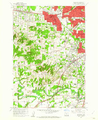
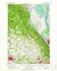
(37)- 1897 Map of Portland
 1897 Portland1897 Print · USGSCovers West Slope, including Portland, Vancouver, and other nearby areas2 unique versions available
 - 1905 Map of Portland
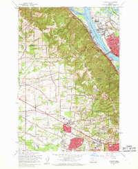
 1905 Portland1905 Print · USGSCovers West Slope, including Portland, Vancouver, and other nearby areas9 unique versions available
 - 1914 Map of Oregon City
 1914 Oregon City1914 Print · USGSCovers West Slope, including Portland, Beaverton, and other nearby areas4 unique versions available
 - 1915 Map of Hillsboro
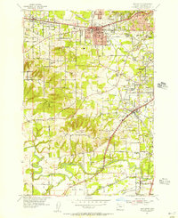
 1915 Hillsboro1915 Print · USGSCovers West Slope, including Portland, Vancouver, and other nearby areas
 - 1916 Map of Tualatin
 1916 Tualatin1916 Print · USGSCovers West Slope, including Portland, Hillsboro, and other nearby areas5 unique versions available
 - 1918 Map of Hillsboro
 1918 Hillsboro1918 Print · USGSCovers West Slope, including Portland, Vancouver, and other nearby areas5 unique versions available
 - 1939 Map of Oregon City, 1958 Print
 1939 Oregon City1958 Print · USGSCovers West Slope, including Portland, Beaverton, and other nearby areas
 - 1939 Map of Tualatin, 1958 Print
 1939 Tualatin1958 Print · USGSCovers West Slope, including Portland, Hillsboro, and other nearby areas
 - 1940 Map of Tualatin
 1940 Tualatin1940 Print · USGSCovers West Slope, including Portland, Hillsboro, and other nearby areas
 - 1940 Map of Hillsboro
 1940 Hillsboro1940 Print · USGSCovers West Slope, including Portland, Vancouver, and other nearby areas
 - 1940 Map of Portland
 1940 Portland1940 Print · USGSCovers West Slope, including Portland, Vancouver, and other nearby areas4 unique versions available
 - 1941 Map of Oregon City
 1941 Oregon City1941 Print · USGSCovers West Slope, including Portland, Beaverton, and other nearby areas
 - 1948 Map of Vancouver, 1957 Print
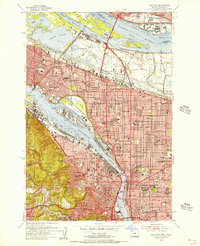
 1948 Vancouver1957 Print · USGSCovers West Slope, including Portland, Vancouver, and other nearby areas
 - 1950 Map of Vancouver
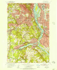
 1950 Vancouver1950 Print · USGSCovers West Slope, including Portland, Vancouver, and other nearby areas
 - 1950 Map of Vancouver, 1951 Print
 1950 Vancouver1951 Print · USGSCovers West Slope, including Portland, Vancouver, and other nearby areas
 - 1954 Map of Beaverton, 1956 Print
 1954 Beaverton1956 Print · USGSCovers West Slope, including Portland, Beaverton, and other nearby areas
 - 1954 Map of Portland, 1956 Print
 1954 Portland1956 Print · USGSCovers West Slope, including Portland, Vancouver, and other nearby areas
 - 1954 Map of Linnton, 1957 Print
 1954 Linnton1957 Print · USGSCovers West Slope, including Portland, Hillsboro, and other nearby areas
 - 1954 Map of Oswego, 1957 Print
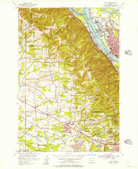
 1954 Oswego1957 Print · USGSCovers West Slope, including Portland, Beaverton, and other nearby areas
 - 1958 Map of Vancouver, 1968 Print
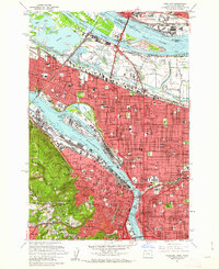
 1958 Vancouver1968 Print · USGSCovers West Slope, including Portland, Vancouver, and other nearby areas3 unique versions available
 - 1961 Map of Beaverton
 1961 Beaverton1961 Print · USGSCovers West Slope, including Portland, Beaverton, and other nearby areas5 unique versions available
 - 1961 Map of Linnton
 1961 Linnton1961 Print · USGSCovers West Slope, including Portland, Hillsboro, and other nearby areas4 unique versions available
 - 1961 Map of Portland, 1962 Print
 1961 Portland1962 Print · USGSCovers West Slope, including Portland, Vancouver, and other nearby areas3 unique versions available
 - 1961 Map of Portland, 1963 Print
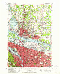 1961 Portland1963 Print · USGSCovers West Slope, including Portland, Vancouver, and other nearby areas3 unique versions available
 - 1961 Map of Hillsboro, 1963 Print
 1961 Hillsboro1963 Print · USGSCovers West Slope, including Portland, Vancouver, and other nearby areas2 unique versions available
Showing maps 1-25 of 37
Frequently asked questions
- What are the different types of historical maps available for West Slope?
- What is the oldest map of West Slope?
- Where can I purchase historical maps of West Slope for my home or office?
- Where can I download high-res historical maps of West Slope?
- Are there historical topographic maps available for West Slope?
- Is there historical aerial imagery available for West Slope?
- Where are historical maps of West Slope sourced from?