2000s (21st Century) Maps of Adams County, Pennsylvania
Explore 30 historic maps of Adams County from the 2000s (21st Century). These maps offer a rare glimpse into what life looked like during the 2000s — showing old roads, neighborhoods, homes, and landmarks that have changed or disappeared over time.
Whether you're researching your family's past, planning a metal detecting trip, or studying how Adams County's landscape evolved across the 2000s, these high-resolution maps are a powerful tool for exploring the history of this region.
- Focus on a specific era: All maps on this page are from the 2000s, giving you a focused view of this time period.
- See what’s changed: Compare century-old streets, trails, and buildings to today's modern landscape using overlays and satellite layers.
- Research with precision: Use these maps for genealogy, historical research, land use analysis, or educational projects.
- View, download, or print: Maps are fully viewable online in high resolution, and can be downloaded or printed for your own records.
Start exploring Adams County's history through authentic maps from the 2000s. This is your window into the past.
Adams County, PA maps
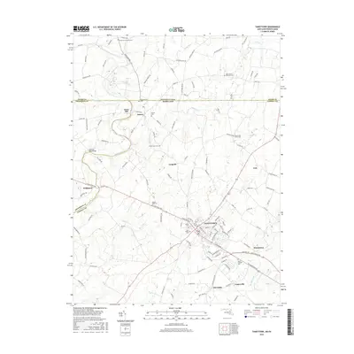
(30)- 2011 Map of Taneytown, 2011 Print
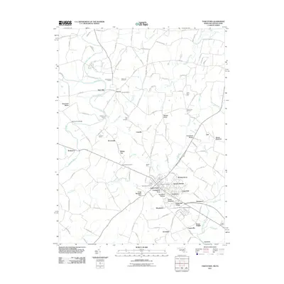 2011 Taneytown2011 Print · USGSCovers Adams County, including Taneytown, Germany Township, and other nearby areas
 - 2011 Map of Emmitsburg, 2011 Print
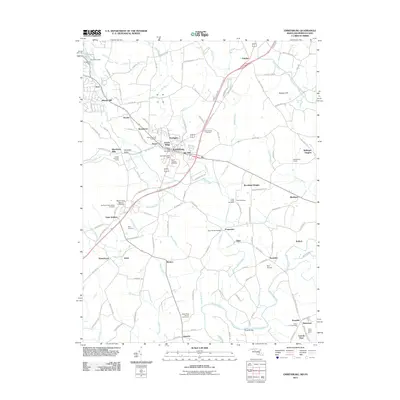 2011 Emmitsburg2011 Print · USGSCovers Adams County, including Emmitsburg, Harney Venture Estates, and other nearby areas
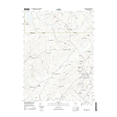
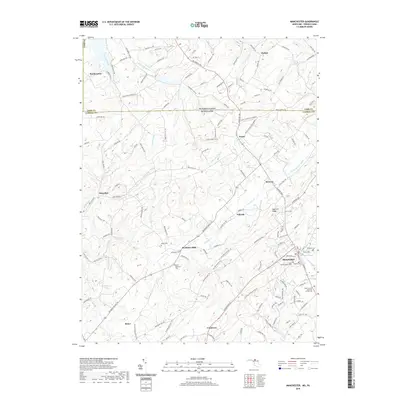
 - 2011 Map of Manchester, 2011 Print
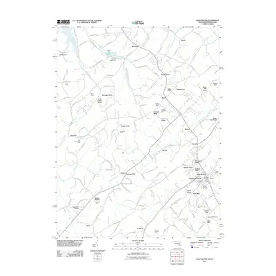 2011 Manchester2011 Print · USGSCovers Adams County, including West Manheim Township, Manchester, and other nearby areas
 - 2014 Map of Taneytown, 2014 Print
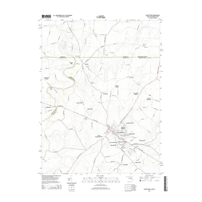 2014 Taneytown2014 Print · USGSCovers Adams County, including Taneytown, Germany Township, and other nearby areas
 - 2014 Map of Manchester, 2014 Print
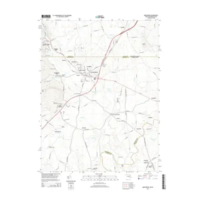
 2014 Manchester2014 Print · USGSCovers Adams County, including West Manheim Township, Manchester, and other nearby areas
 - 2014 Map of Emmitsburg, 2014 Print
 2014 Emmitsburg2014 Print · USGSCovers Adams County, including Emmitsburg, Harney Venture Estates, and other nearby areas
 - 2016 Map of Emmitsburg, 2016 Print
 2016 Emmitsburg2016 Print · USGSCovers Adams County, including Emmitsburg, Harney Venture Estates, and other nearby areas
 - 2016 Map of Manchester, 2016 Print
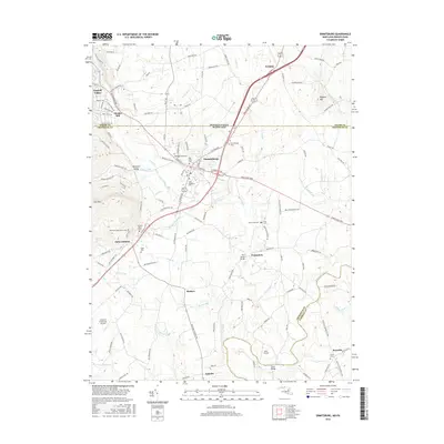
 2016 Manchester2016 Print · USGSCovers Adams County, including West Manheim Township, Manchester, and other nearby areas
 - 2016 Map of Taneytown, 2016 Print
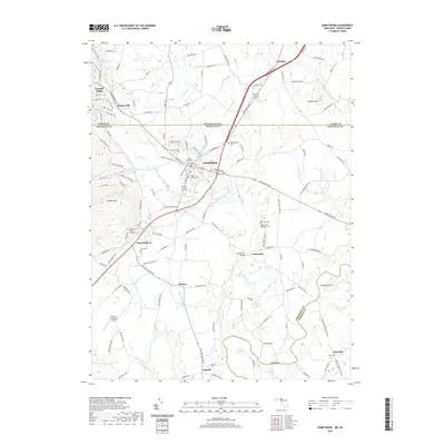
 2016 Taneytown2016 Print · USGSCovers Adams County, including Taneytown, Germany Township, and other nearby areas
 - 2019 Map of Manchester, 2019 Print
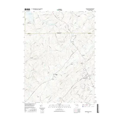
 2019 Manchester2019 Print · USGSCovers Adams County, including West Manheim Township, Manchester, and other nearby areas
 - 2019 Map of Emmitsburg, 2019 Print
 2019 Emmitsburg2019 Print · USGSCovers Adams County, including Emmitsburg, Harney Venture Estates, and other nearby areas
 - 2019 Map of Taneytown, 2019 Print
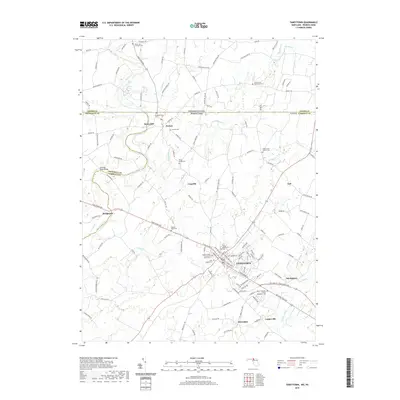 2019 Taneytown2019 Print · USGSCovers Adams County, including Taneytown, Germany Township, and other nearby areas
 - 2023 Map of Abbottstown, 2023 Print
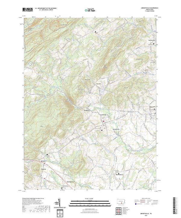
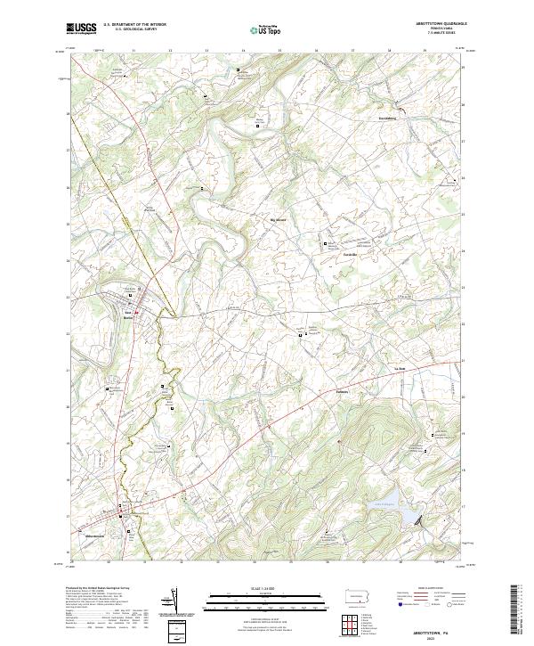 2023 Abbottstown2023 Print · USGSAdams and York counties appear in this modern survey of the Pennsylvania Dutch countryside. Genealogists can trace family heritage through numerous historic sites like Jacobs Burial Grounds, Dierdorff Cem, and Altland's Meeting House Cem.
 - 2023 Map of Gettysburg, 2023 Print
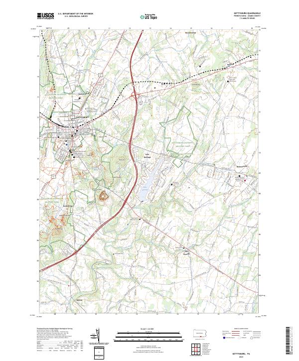 2023 Gettysburg2023 Print · USGSGettysburg and its surrounding ridges appear in the twenty-first century as a blend of meticulously preserved battlefield and a thriving college town. Trace family connections at Lincoln Cem or Evergreen Cem, and explore the terrain of Round Top and Culps Hill.
 - 2023 Map of Hampton, 2023 Print
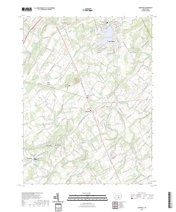 2023 Hampton2023 Print · USGSThe rural stretches of Adams County and the York County border appear here in the early twenty-first century. Genealogists can trace family heritage through numerous historic sites, including the Huntington Quaker Meeting House Cem, Hampton, and the Saint Paul Lutheran Church.
 - 2023 Map of McSherrystown, 2023 Print
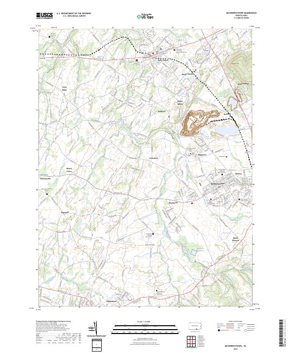 2023 McSherrystown2023 Print · USGSAdams County’s historic boroughs and rural parishes are documented here in recent detail, reflecting centuries of settlement. Researchers can trace local lineage through sites like Northern Low Dutch Cem, Hostetters Meeting House Cem, and the venerable Conewago Chapel Basilica.
 - 2023 Map of Littlestown, 2023 Print
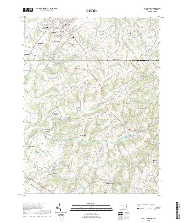 2023 Littlestown2023 Print · USGSThe Pennsylvania and Maryland borderlands come alive in this modern survey of the rural landscape between Adams and Carroll counties. Genealogists and historians can trace family roots through numerous sites like Saint John's Lutheran Cem, the industrial legacy of Arters Mill, and the quiet crossroads of Silver Run.
 - 2023 Map of Dillsburg, 2023 Print
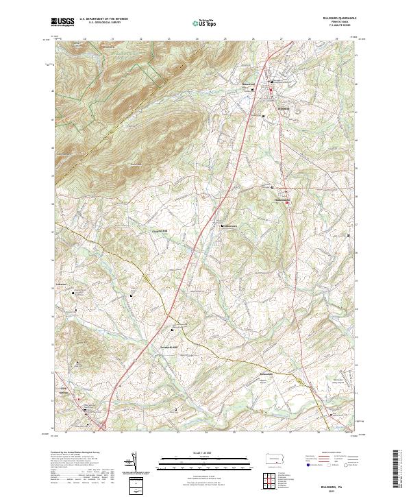 2023 Dillsburg2023 Print · USGSDillsburg and its surrounding rural townships appear here in the early 2020s as a landscape of interconnected valley farms and timbered ridges. Genealogists can locate family names at the Latimore Mennonite Meetinghouse Cemetery or trace the path of the Mason Dixon Trail past Deardorffs Mill.
 - 2023 Map of Hanover, 2023 Print
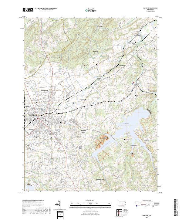 2023 Hanover2023 Print · USGSSettled between the Pigeon Hills and the Codorus Creek basin, this York County landscape reveals a deep network of rural hamlets and cemeteries. Genealogists can trace family names at Mount Olivet Cem or explore the old mill sites at Menges Mills and Kraft Mill.
 - 2023 Map of Blue Ridge Summit, 2023 Print
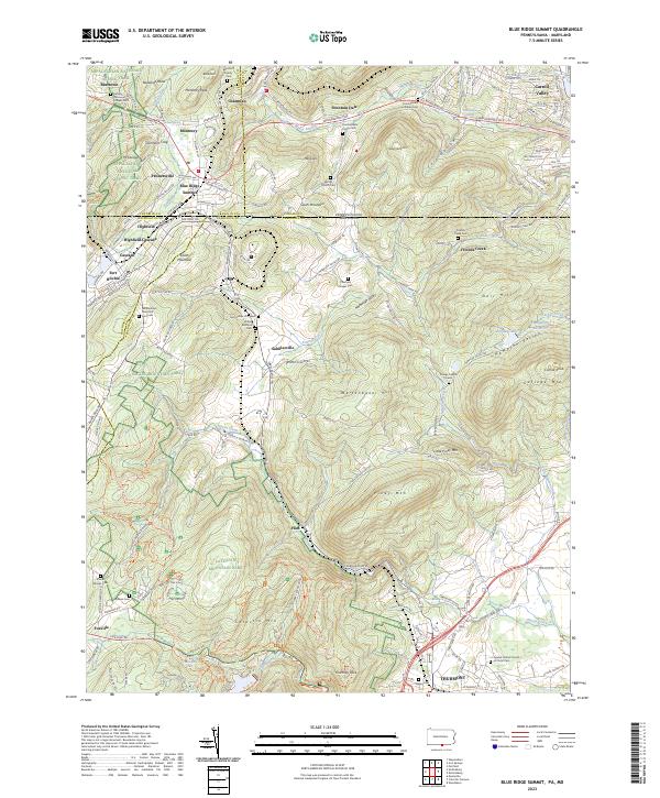 2023 Blue Ridge Summit2023 Print · USGSBlue Ridge Summit and the surrounding borderlands of Franklin and Frederick Counties are captured here in the 2020s. Researchers can trace historic family burial sites and military landmarks from Fort Ritchie to the Benchoff Family Cem and Otterbein Chapel Cem.
 - 2023 Map of Iron Springs, 2023 Print
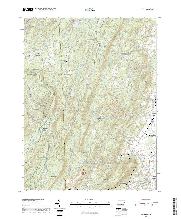 2023 Iron Springs2023 Print · USGSThe Pennsylvania mountains near the Franklin and Adams County line are captured here as they appeared in 2023. Researchers can trace the Appalachian National Scenic Trail past Chimney Rocks or locate burial sites like Strang Cem and Chamberlin Hill Cem.
 - 2023 Map of Arendtsville, 2023 Print
 2023 Arendtsville2023 Print · USGSAdams County orchard country and the foothills of South Mountain are captured here in modern detail. Genealogists can trace family names and burial sites at the German Society Lutheran Calvinist Cem, Fairview Cem, and Mummasburg Mennonite Cem.
 - 2023 Map of Biglerville, 2023 Print
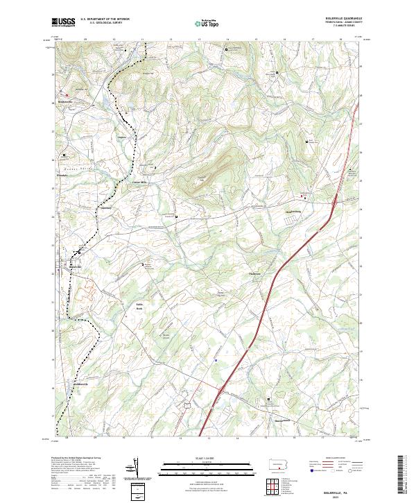 2023 Biglerville2023 Print · USGSApple country in Adams County is captured here in the early twenty-first century, showing the enduring rural character of towns like Biglerville and Aspers. Researchers can find dozens of historic burial sites, including the Old White Episcopal Church Cem and Butler Township Friends Cem.
 - 2023 Map of Fairfield, 2023 Print
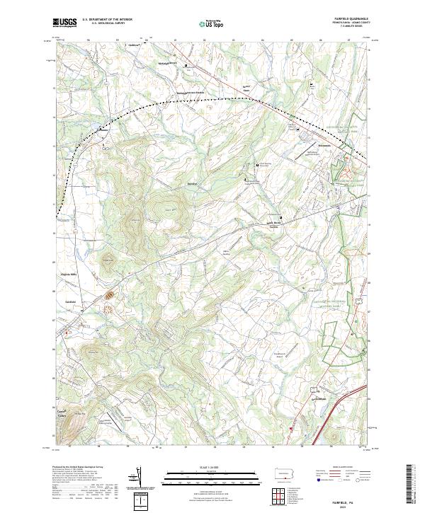 2023 Fairfield2023 Print · USGSThe countryside west of Gettysburg remains a landscape of historic taverns and old churchyards. Trace family history at McKnightstown Cem or explore the western boundaries of Gettysburg National Military Park near Black Horse Tavern.
 - 2023 Map of Caledonia Park, 2023 Print
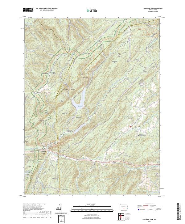 2023 Caledonia Park2023 Print · USGSThe South Mountain high country of Adams County is shown here in the 2020s, dominated by the public lands of Michaux State Forest. Researchers can trace old mountain roads and local landmarks like Caledonia Park and the Saint Ignatius Loyola Catholic Church.
Showing maps 1-25 of 30
Top cities of Adams County
- Gettysburg historical maps
- Littlestown historical maps
- Carroll Valley historical maps
- McSherrystown historical maps
- Latimore Township historical maps
- New Oxford historical maps
See more
Frequently asked questions
- What are the different types of historical maps available for Adams County?
- What is the oldest map of Adams County?
- Where can I purchase historical maps of Adams County for my home or office?
- Where can I download high-res historical maps of Adams County?
- Are there historical topographic maps available for Adams County?
- Is there historical aerial imagery available for Adams County?
- Where are historical maps of Adams County sourced from?