Old Maps of Connoquenessing, Pennsylvania
Explore 27 old maps of Connoquenessing, spanning from 1908 to today. These high-resolution historic maps reveal how streets, neighborhoods, landmarks, and natural features evolved over time — perfect for genealogy, metal detecting, research, and local history exploration.
What you can do with these maps:
- See how Connoquenessing changed over time: Compare historical maps to modern-day views to trace roads, homesites, rail lines & more.
- View detailed metadata: Each map includes creators, publishers, year, scale, and archive source.
- Overlay maps with satellite & LiDAR: Visualize the past alongside modern tools to explore terrain & human change.
- Trusted historical sources: Maps sourced from the USGS, Library of Congress, and other archives.
- Access maps your way: View online, download high-res files, or order prints for personal or research use.
Start exploring old maps of Connoquenessing to uncover forgotten places, hidden landmarks, and the deep history beneath your feet.
Connoquenessing, PA maps
(27)- 1908 Map of Zelienople, 1963 Print
 1908 Zelienople1963 Print · USGSButler County and parts of Lawrence and Beaver Counties are shown in the first decade of the 1900s, when the region's river-and-rail economy was in full swing. Genealogists and historians can trace family roots at McConnells Mill, locate schools like Tollgate School, or explore the early streets of Zelienople and Harmony.
 - 1909 Map of Butler, 1957 Print
 1909 Butler1957 Print · USGSButler and its surrounding townships thrive at the peak of the rail era, before the dominance of modern highways. Genealogists can trace family roots through numerous local schools and churches, from Lyndora and Unionville to White Church and Elliott School.2 unique versions available
 - 1910 Map of Zelienople
 1910 Zelienople1910 Print · USGSWestern Pennsylvania in the early twentieth century is a landscape of thriving creek-side towns and intersecting rail lines. Genealogists can trace family roots through numerous rural landmarks like McConnells Mill, Zion Church, and the many country schoolhouses including American School.5 unique versions available
 - 1911 Map of Butler
 1911 Butler1911 Print · USGSButler emerges as a bustling rail and trolley hub during the first decade of the twentieth century. Genealogists and local historians can trace the paths of the Pittsburg and Butler Electric Railway or locate family homesteads near Frazier Mill and White Church.5 unique versions available
 - 1951 Map of Canton
 1951 Canton1951 Print · USGSThe industrial heartland of Ohio and Pennsylvania reached its mid-century peak during this era of heavy rail and river transit. Genealogists and historians can trace the development of steel towns like Aliquippa and Weirton alongside the Ohio River and major lines of the Pennsylvania RR.
 - 1953 Map of Pittsburgh
 1953 Pittsburgh1953 Print · USGSWestern Pennsylvania's industrial landscape at the start of the fifties shows the steel and rail corridors between Pittsburgh and Altoona. Trace family roots in river towns like Tarentum or follow the Pennsylvania Turnpike across Laurel Hill.
 - 1953 Map of Canton
 1953 Canton1953 Print · USGSThe industrial heartland of Ohio and Pennsylvania is captured at its mid-century peak in this detailed regional survey. Genealogists and historians can trace the vast rail networks of the Pennsylvania RR and find local landmarks like Nimisila Reservoir and Tappan Reservoir.
 - 1954 Map of Pittsburgh
 1954 Pittsburgh1954 Print · USGSWestern Pennsylvania in the early fifties remains a powerhouse of heavy industry and vital transit corridors. Genealogists and historians can trace the rail-and-river network connecting Pittsburgh, Johnstown, and Altoona via the Pennsylvania RR and the Lincoln Highway.2 unique versions available
 - 1957 Map of Canton, 1971 Print
 1957 Canton1971 Print · USGSThe industrial heartland of eastern Ohio and western Pennsylvania comes alive in this mid-century survey of the Ohio River Valley. Trace the heritage of rail and river commerce through Pittsburgh, the massive steel towns along the Ohio River, and major junctions on the Pennsylvania RR.3 unique versions available
 - 1958 Map of Pittsburgh
 1958 Pittsburgh1958 Print · USGSWestern Pennsylvania in the late fifties shows an industrial heartland defined by the confluence of the Allegheny River and Monongahela River. Researchers can trace the sprawling rail networks of the Pennsylvania RR and find established towns like Butler, Latrobe, and Windber.5 unique versions available
 - 1958 Map of Butler
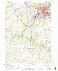 1958 Butler1958 Print · USGSButler and its industrial suburbs thrive during the late fifties as a major rail hub for three different lines. Researchers can trace family roots at Old Brownsdale Cem, locate the old Deshon V-A Hospital, or find vanished landmarks like the Drive-in Theater.3 unique versions available
 - 1958 Map of Evans City, 1959 Print
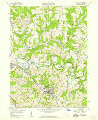 1958 Evans City1959 Print · USGSButler County in the late fifties reveals a landscape of winding creeks and coal mining operations. Trace the path of the Baltimore and Ohio railroad through Evans City and discover landmarks like Stamm Sch and Harmony Junction.5 unique versions available
 - 1959 Map of Pittsburgh
 1959 Pittsburgh1959 Print · USGSWestern Pennsylvania in the late fifties is captured here at the height of its industrial era. Genealogists and historians can trace the riverfront growth of Pittsburgh, the rail works at Altoona, and the mountain gaps of Laurel Hill.
 - 1962 Map of Canton
 1962 Canton1962 Print · USGSThe industrial heartland of Eastern Ohio and Western Pennsylvania thrives in the early sixties as steel mills and rail lines dominate the river valleys. Genealogists and historians can trace local landmarks like McKinley National Memorial, Malone College, and industrial sites such as Republic Steel Corp.2 unique versions available
 - 1964 Map of Pittsburgh
 1964 Pittsburgh1964 Print · USGSWestern Pennsylvania in the late fifties and early sixties shows a landscape of powerful river industries and expanding highways. Genealogists and historians can trace the rail corridors of the Pennsylvania RR through industrial hubs like Johnstown, Altoona, and Nanty Glo.
 - 1983 Map of Indiana
 1983 Indiana1983 Print · USGSWestern Pennsylvania in the early eighties shows a landscape of industrial river towns and expanding university campuses. Genealogists can trace family roots through Lucernemines and Spring Church, or locate ancestors in Oakland Cemetery.
 - 1986 Map of East Liverpool
 1986 East Liverpool1986 Print · USGSThe tri-state border region in the 1980s reveals a landscape shaped by the Ohio River and a massive rail network. Researchers can trace the industrial footprint of East Liverpool and Midland or locate inland landmarks like Pine Lake and Strip Mines.2 unique versions available
 - 2010 Map of Butler, 2010 Print
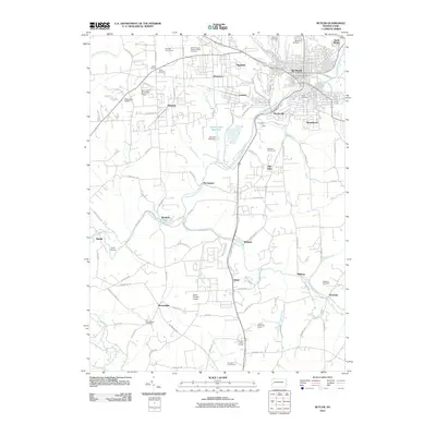 2010 Butler2010 Print · USGSButler and its suburban neighbors appear in this early twenty-first-century survey during a period of established residential growth and recreation. You can trace family roots at Old Brownsdale Cemetery or explore the drainage of Connoquenessing Creek past settlements like Renfrew and Nixon.
 - 2010 Map of Evans City, 2010 Print
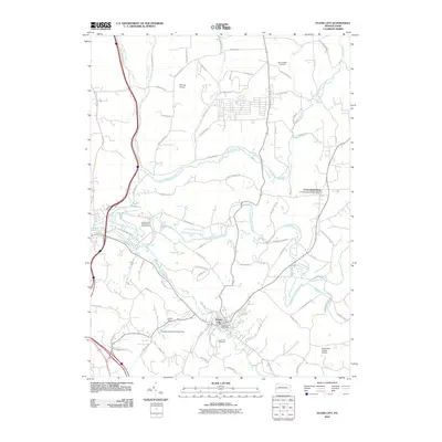 2010 Evans City2010 Print · USGSEvans City and the surrounding Butler County countryside appear in this early twenty-first-century survey during a period of modern rural development. Local historians can trace family locations near the Evans City Cemetery or locate landmarks like the Pabst Blue Ribbon Airport and Connoquenessing.
 - 2013 Map of Evans City, 2013 Print
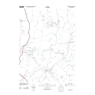 2013 Evans City2013 Print · USGSButler County's rural and residential character is on full display here in the early twenty-first century. Researchers can trace the development of crossroads like Wahlville or locate specific local landmarks such as Buhls Station and Pabst Blue Ribbon Airport.
 - 2013 Map of Butler, 2013 Print
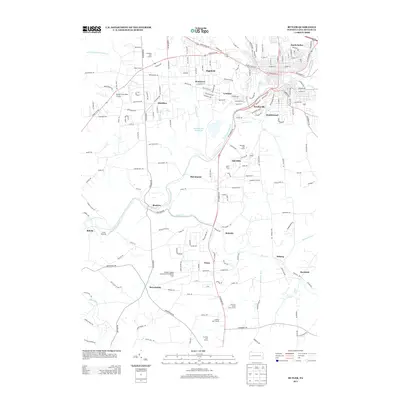 2013 Butler2013 Print · USGSThe suburbs south of Butler come into focus during the early twenty-first century, showing a mix of aviation hubs and small communities. Researchers can trace the development of settlements like Lyndora and Renfrew or locate local landmarks such as White Church and the Sawmill Run Reservoir.
 - 2016 Map of Butler, 2016 Print
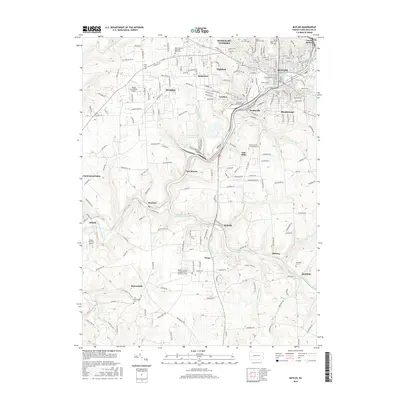 2016 Butler2016 Print · USGSButler County's regional hub and surrounding valleys are captured here in the mid-2010s, showing a landscape shaped by both industry and educational growth. Genealogists and local historians can trace family plots at Old Brownsdale Cem or follow the rail corridor of the B & O RR through Renfrew and Lyndora.
 - 2016 Map of Evans City, 2016 Print
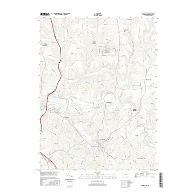 2016 Evans City2016 Print · USGSButler County's rolling valley terrain comes into focus in this mid-2010s survey of Evans City and its surrounding hamlets. Researchers can trace the layout of small communities like Wahlville and Eidenau or locate specific local landmarks such as Mount Nebo Cem and the Pabst Blue Ribbon Airport.
 - 2019 Map of Butler, 2019 Print
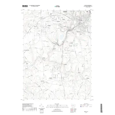 2019 Butler2019 Print · USGSButler and its sprawling suburbs appear in detail during the late twenty-teens, showing the city's growth along the banks of Connoquenessing Creek. Genealogists can trace family names at North Cem or the Butler County Poor Farm Cem.
 - 2019 Map of Evans City, 2019 Print
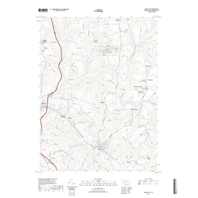 2019 Evans City2019 Print · USGSButler County's river valleys and historic settlements are captured here in the late twenty-tens, centered on the confluence at Evans City. Genealogists can trace family names across numerous sites including the English Cem and White Oak Springs Presbyterian Cem.
Showing maps 1-25 of 27
Frequently asked questions
- What are the different types of historical maps available for Connoquenessing?
- What is the oldest map of Connoquenessing?
- Where can I purchase historical maps of Connoquenessing for my home or office?
- Where can I download high-res historical maps of Connoquenessing?
- Are there historical topographic maps available for Connoquenessing?
- Is there historical aerial imagery available for Connoquenessing?
- Where are historical maps of Connoquenessing sourced from?