Old Maps of Liberty Township, Pennsylvania
Explore 22 old maps of Liberty Township, spanning from 1921 to today. These high-resolution historic maps reveal how streets, neighborhoods, landmarks, and natural features evolved over time — perfect for genealogy, metal detecting, research, and local history exploration.
What you can do with these maps:
- See how Liberty Township changed over time: Compare historical maps to modern-day views to trace roads, homesites, rail lines & more.
- View detailed metadata: Each map includes creators, publishers, year, scale, and archive source.
- Overlay maps with satellite & LiDAR: Visualize the past alongside modern tools to explore terrain & human change.
- Trusted historical sources: Maps sourced from the USGS, Library of Congress, and other archives.
- Access maps your way: View online, download high-res files, or order prints for personal or research use.
Start exploring old maps of Liberty Township to uncover forgotten places, hidden landmarks, and the deep history beneath your feet.
Liberty Township, PA maps
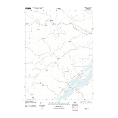
(22)- 1921 Map of Howard
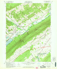
 1921 Howard1921 Print · USGSThe valleys and ridges of Central Pennsylvania are captured here just as the rail-and-river economy was maturing. Researchers can trace family sites among a high density of rural schools and churches like Cedar Spring School, Hunter Run Church, and the town of Lamar.3 unique versions available
 - 1923 Map of Howard
 1923 Howard1923 Print · USGSThe valleys of Clinton and Center counties were bustling with rural life in the 1920s as the rail and river economy matured. Genealogists can locate over a dozen local schoolhouses like Wagner School and trace the paths of the Pennsylvania Railroad and Beech Creek Sta.6 unique versions available
 - 1954 Map of Williamsport
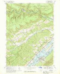
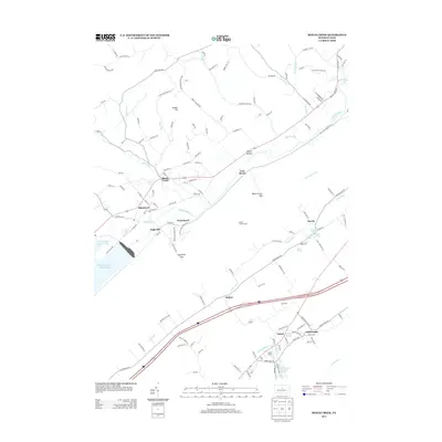
 1954 Williamsport1954 Print · USGSNorth-central Pennsylvania in the mid-fifties is defined by the winding West Branch Susquehanna River and its industrial valley. Local historians can trace the massive Susquehanna Ordnance Depot and the extensive rail networks of the Pennsylvania Railroad.
 - 1960 Map of Williamsport
 1960 Williamsport1960 Print · USGSNorth-central Pennsylvania in the mid-twentieth century was a vital corridor of rail and river industry stretching from the New York line to the coal regions. Genealogists can trace the rail networks of the Pennsylvania RR and Lehigh Valley RR connecting towns like Williamsport, Towanda, and Lock Haven.
 - 1962 Map of Williamsport, 1966 Print
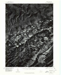
 1962 Williamsport1966 Print · USGSNorth-central Pennsylvania was a landscape of industrial river hubs and vast state woodlands in the early sixties. Researchers can trace the path of the Pennsylvania Railroad through Williamsport and explore the remote reaches of Bucktail State Park.5 unique versions available
 - 1965 Map of Williamsport
 1965 Williamsport1965 Print · USGSNorth-central Pennsylvania in the mid-1960s is defined by the industrial river towns and vast timberlands of the Allegheny Plateau. Researchers can trace historic rail lines like the Erie Lackawanna and Reading as they thread through Williamsport, Lock Haven, and Jersey Shore.
 - 1966 Map of Williamsport
 1966 Williamsport1966 Print · USGSThe Susquehanna Valley was a hub of transit and industry in the mid-seventies, where the river's West Branch connected major college towns and timberlands. Researchers can trace historical rail lines like the Reading or locate regional landmarks from Jersey Shore to Ricketts Glen State Park.
 - 1967 Map of Beech Creek, 1968 Print
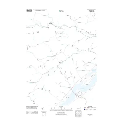
 1967 Beech Creek1968 Print · USGSClinton and Centre counties are captured in the late sixties during the creation of the Blanchard Reservoir. Genealogists and historians can trace family plots at Hays-Fearon Cem and explore community landmarks like Beech Creek Station and Liberty Ch.3 unique versions available
 - 1967 Map of Howard, 1969 Print
 1967 Howard1969 Print · USGSCentral Pennsylvania in the late sixties shows the intersection of the new Eagle Creek Reservoir and old mountain settlements. Local historians can trace the foundations of Howard and Orviston alongside remote sites like Schencks Cem and Highland Ch.3 unique versions available
 - 1977 Map of Beech Creek, 1979 Print
 1977 Beech Creek1979 Print · USGSClinton County land use and valley settlement are captured in this late 1970s aerial survey just as the rural landscape was maturing. Researchers can trace the exact field boundaries and homestead locations near Beech Creek and under the shadow of Bald Eagle Mountain.
 - 1977 Map of Howard, 1979 Print
 1977 Howard1979 Print · USGSCentre County farmland and ridges come into sharp focus during the late seventies, showing the rural character of the Pennsylvania landscape. Researchers can trace land use patterns near Howard and Romola or study the shoreline of Sayers Lake.
 - 1984 Map of Williamsport West, 1985 Print
 1984 Williamsport West1985 Print · USGSCentral Pennsylvania in the mid-eighties was a landscape of dense state forests and industrious river towns along the West Branch Susquehanna River. Trace the rail lines of Conrail through Renovo or locate the historic grounds of Lock Haven State College.2 unique versions available
 - 2010 Map of Beech Creek, 2010 Print
 2010 Beech Creek2010 Print · USGSCovers Liberty Township, including Lamar, Beech Creek, and other nearby areas
 - 2010 Map of Howard, 2010 Print
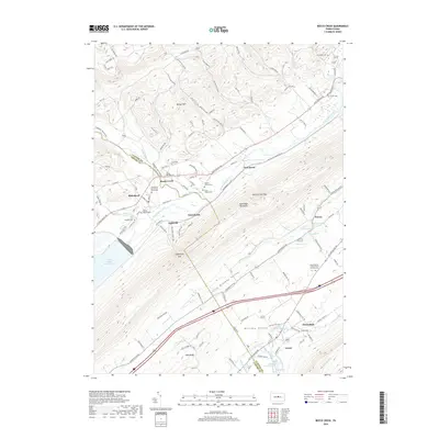
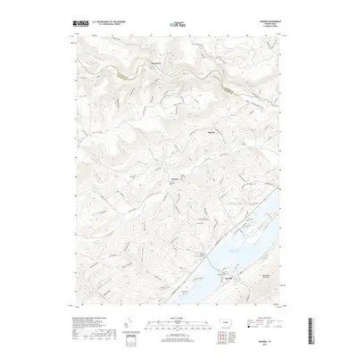
 2010 Howard2010 Print · USGSCovers Liberty Township, including Howard, Big Run, and other nearby areas
 - 2013 Map of Howard, 2013 Print
 2013 Howard2013 Print · USGSCovers Liberty Township, including Howard, Big Run, and other nearby areas
 - 2013 Map of Beech Creek, 2013 Print
 2013 Beech Creek2013 Print · USGSCovers Liberty Township, including Lamar, Beech Creek, and other nearby areas
 - 2016 Map of Howard, 2016 Print
 2016 Howard2016 Print · USGSCovers Liberty Township, including Howard, Big Run, and other nearby areas
 - 2016 Map of Beech Creek, 2016 Print
 2016 Beech Creek2016 Print · USGSCovers Liberty Township, including Lamar, Beech Creek, and other nearby areas
 - 2019 Map of Beech Creek, 2019 Print
 2019 Beech Creek2019 Print · USGSCovers Liberty Township, including Lamar, Beech Creek, and other nearby areas
 - 2019 Map of Howard, 2019 Print
 2019 Howard2019 Print · USGSCovers Liberty Township, including Howard, Big Run, and other nearby areas
 - 2023 Map of Howard, 2023 Print
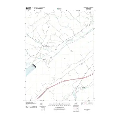
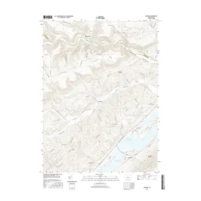
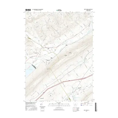
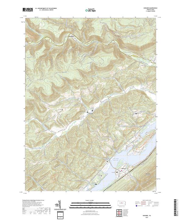 2023 Howard2023 Print · USGSThe northern reaches of Centre County are captured here as the reservoir at Howard meets the steep slopes of Bald Eagle Mountain. Genealogists can trace family heritage through numerous sites like Romola Christian Cem, Lucas Cem, and the William Packer Family Cem.
 - 2023 Map of Beech Creek, 2023 Print
 2023 Beech Creek2023 Print · USGSClinton and Centre counties are shown here as they appeared recently, centered on the gap where Beech Creek meets the Bald Eagle Creek valley. Family historians can locate numerous burial sites like the Bossert Family Cem or trace landmarks such as Washington Furnace Spring.
End of results
Showing maps 1-22 of 22
Top cities near Liberty Township
- Lock Haven historical maps
- Bellefonte historical maps
- Pleasant Gap historical maps
- Lamar historical maps
- Mill Hall historical maps
- Flemington historical maps
See more
Top neighborhoods of Liberty Township
- Blanchard historical maps
- Big Run historical maps
- Monument historical maps
- Eagleville historical maps
- West Beech historical maps
Frequently asked questions
- What are the different types of historical maps available for Liberty Township?
- What is the oldest map of Liberty Township?
- Where can I purchase historical maps of Liberty Township for my home or office?
- Where can I download high-res historical maps of Liberty Township?
- Are there historical topographic maps available for Liberty Township?
- Is there historical aerial imagery available for Liberty Township?
- Where are historical maps of Liberty Township sourced from?