Old Maps of Renovo, Clinton County for Metal Detecting
Plan your next treasure hunt with 23 historic maps of Renovo. Find old homesites, ghost towns, trails, and gathering spots that may be lost to time — perfect for identifying promising metal detecting locations.
- Locate forgotten sites: Uncover places like long-lost settlements, abandoned rail lines, or gathering spots.
- Plan better hunts: Use map overlays combined with LiDAR or satellite views to narrow in on historically rich areas.
- Made for detectorists: Thousands of hobbyists use these maps to discover relics, coins, and hidden history.
Use these historic maps to boost your research and find new opportunities beneath the surface of Renovo.
Renovo, Clinton County maps
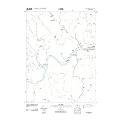
(23)- 1943 Map of Hyner
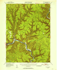
 1943 Hyner1943 Print · USGSIn the central Pennsylvania highlands during the mid-1940s, the river and rail lines dictated the life of the valley. Researchers can trace the industrial corridor from Renovo Boro to remote outposts like Slate Run and Young Womanstown.
 - 1946 Map of Renovo East, 1953 Print
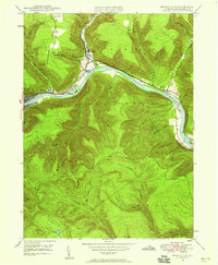
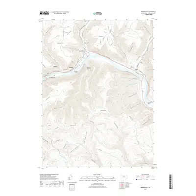
 1946 Renovo East1953 Print · USGSThe industrial corridor of the West Branch Susquehanna River is seen here in the mid-1940s, showing the critical rail infrastructure of the Pennsylvania railroad. Genealogists can trace family sites in Gleasonton or Farwell and locate the St Josephs Cem.3 unique versions available
 - 1946 Map of Renovo West, 1953 Print
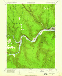
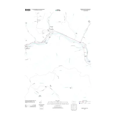
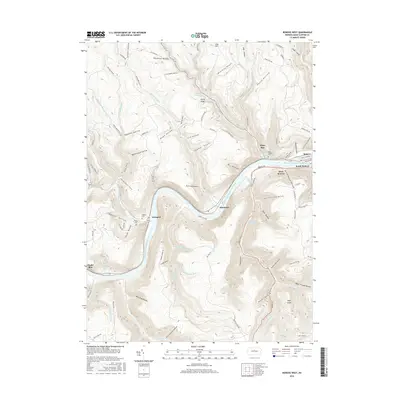
 1946 Renovo West1953 Print · USGSClinton County's river valleys and ridgelines come alive in this mid-century survey of the Pennsylvania wilds. Trace the industrial footprint of the Pennsylvania RR through Renovo or find family history at Laurel Hill Cem and Summerson Cem.9 unique versions available
 - 1946 Map of Renovo East, 1958 Print
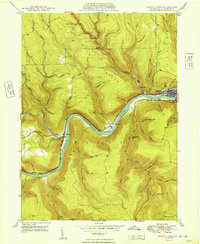
 1946 Renovo East1958 Print · USGSThe West Branch Susquehanna River valley near Renovo is seen here just after the war, showing the industrial pulse of the river and rail lines. Genealogists and historians can locate Fairview Cem, the St Josephs Ch, and old settlements like Gleasonton and Farwell.4 unique versions available
 - 1946 Map of Renovo West, 1959 Print
 1946 Renovo West1959 Print · USGSClinton County during the post-war era shows a landscape of river-valley industry and upland extraction. You can trace the rail networks through Renovo, find family plots at Noyes Cem, and locate the Strip Mine operations above Westport.4 unique versions available
 - 1948 Map of Renovo East
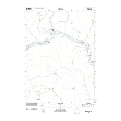
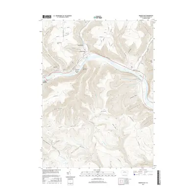
 1948 Renovo East1948 Print · USGSClinton County in the late 1940s centers on the busy river corridor of the West Branch Susquehanna River and its mountain settlements. Genealogists and rail historians can trace the Pennsylvania RR through Renovo, find resting places at St Josephs Cem, and locate the Hyner Landing Field.
 - 1949 Map of Renovo West
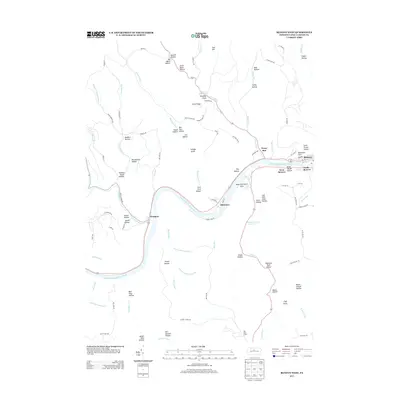
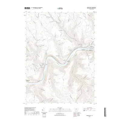
 1949 Renovo West1949 Print · USGSClinton County's river-and-rail corridor is captured in the late 1940s as industry thrives along the riverbanks. Researchers can trace family roots at St Josephs Cem, explore the mountain village of Westport, and follow the old PENNSYLVANIA railroad line.2 unique versions available
 - 1954 Map of Williamsport
 1954 Williamsport1954 Print · USGSNorth-central Pennsylvania in the mid-fifties is defined by the winding West Branch Susquehanna River and its industrial valley. Local historians can trace the massive Susquehanna Ordnance Depot and the extensive rail networks of the Pennsylvania Railroad.
 - 1960 Map of Williamsport
 1960 Williamsport1960 Print · USGSNorth-central Pennsylvania in the mid-twentieth century was a vital corridor of rail and river industry stretching from the New York line to the coal regions. Genealogists can trace the rail networks of the Pennsylvania RR and Lehigh Valley RR connecting towns like Williamsport, Towanda, and Lock Haven.
 - 1962 Map of Williamsport, 1966 Print
 1962 Williamsport1966 Print · USGSNorth-central Pennsylvania was a landscape of industrial river hubs and vast state woodlands in the early sixties. Researchers can trace the path of the Pennsylvania Railroad through Williamsport and explore the remote reaches of Bucktail State Park.5 unique versions available
 - 1965 Map of Williamsport
 1965 Williamsport1965 Print · USGSNorth-central Pennsylvania in the mid-1960s is defined by the industrial river towns and vast timberlands of the Allegheny Plateau. Researchers can trace historic rail lines like the Erie Lackawanna and Reading as they thread through Williamsport, Lock Haven, and Jersey Shore.
 - 1966 Map of Williamsport
 1966 Williamsport1966 Print · USGSThe Susquehanna Valley was a hub of transit and industry in the mid-seventies, where the river's West Branch connected major college towns and timberlands. Researchers can trace historical rail lines like the Reading or locate regional landmarks from Jersey Shore to Ricketts Glen State Park.
 - 1984 Map of Williamsport West, 1985 Print
 1984 Williamsport West1985 Print · USGSCentral Pennsylvania in the mid-eighties was a landscape of dense state forests and industrious river towns along the West Branch Susquehanna River. Trace the rail lines of Conrail through Renovo or locate the historic grounds of Lock Haven State College.2 unique versions available
 - 2010 Map of Renovo West, 2010 Print
 2010 Renovo West2010 Print · USGSCovers Renovo, including Leidy Township, Shintown, and other nearby areas
 - 2010 Map of Renovo East, 2010 Print
 2010 Renovo East2010 Print · USGSCovers Renovo, including South Renovo, Farwell, and other nearby areas
 - 2013 Map of Renovo West, 2013 Print
 2013 Renovo West2013 Print · USGSCovers Renovo, including Leidy Township, Shintown, and other nearby areas
 - 2013 Map of Renovo East, 2013 Print
 2013 Renovo East2013 Print · USGSCovers Renovo, including South Renovo, Farwell, and other nearby areas
 - 2016 Map of Renovo West, 2016 Print
 2016 Renovo West2016 Print · USGSCovers Renovo, including Leidy Township, Shintown, and other nearby areas
 - 2016 Map of Renovo East, 2016 Print
 2016 Renovo East2016 Print · USGSCovers Renovo, including South Renovo, Farwell, and other nearby areas
 - 2019 Map of Renovo East, 2019 Print
 2019 Renovo East2019 Print · USGSCovers Renovo, including South Renovo, Farwell, and other nearby areas
 - 2019 Map of Renovo West, 2019 Print
 2019 Renovo West2019 Print · USGSCovers Renovo, including Leidy Township, Shintown, and other nearby areas
 - 2023 Map of Renovo East, 2023 Print
 2023 Renovo East2023 Print · USGSClinton County’s river towns along the West Branch Susquehanna River are shown in detail as they appeared in recent years. Genealogists and historians can trace the foundations of Renovo and North Bend, or locate historic burials at Fairview Cem and Hyner Cem.
 - 2023 Map of Renovo West, 2023 Print
 2023 Renovo West2023 Print · USGSClinton County river life and mountain trails define this landscape along the Susquehanna during the early twenty-first century. Genealogists and researchers can trace family burial sites like Kepler Cem or explore the mountain hollows surrounding West Renovo and Shintown.
End of results
Showing maps 1-23 of 23
Frequently asked questions
- What are the different types of historical maps available for Renovo?
- What is the oldest map of Renovo?
- Where can I purchase historical maps of Renovo for my home or office?
- Where can I download high-res historical maps of Renovo?
- Are there historical topographic maps available for Renovo?
- Is there historical aerial imagery available for Renovo?
- Where are historical maps of Renovo sourced from?