Old Maps of Pymatuning Central, Pennsylvania
Explore 26 old maps of Pymatuning Central, spanning from 1905 to today. These high-resolution historic maps reveal how streets, neighborhoods, landmarks, and natural features evolved over time — perfect for genealogy, metal detecting, research, and local history exploration.
What you can do with these maps:
- See how Pymatuning Central changed over time: Compare historical maps to modern-day views to trace roads, homesites, rail lines & more.
- View detailed metadata: Each map includes creators, publishers, year, scale, and archive source.
- Overlay maps with satellite & LiDAR: Visualize the past alongside modern tools to explore terrain & human change.
- Trusted historical sources: Maps sourced from the USGS, Library of Congress, and other archives.
- Access maps your way: View online, download high-res files, or order prints for personal or research use.
Start exploring old maps of Pymatuning Central to uncover forgotten places, hidden landmarks, and the deep history beneath your feet.
Pymatuning Central, PA maps
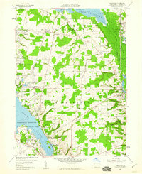
(26)- 1905 Map of Andover
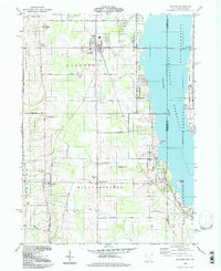
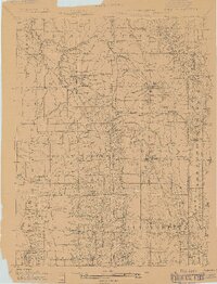 1905 Andover1905 Print · USGSAshtabula County and the Pennsylvania border are shown here at the height of the steam era, before modern highways transformed these rural townships. Genealogists and researchers can locate early congregations like South Denmark Church and trace the paths of the Cooperage Co RR or the Lake Shore and Michigan Southern Railroad.3 unique versions available
 - 1906 Map of Linesville, 1958 Print
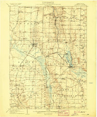
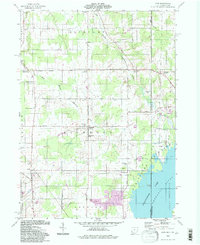
 1906 Linesville1958 Print · USGSCrawford County at the turn of the century is defined by its massive wetland systems and the busy rail corridors crossing the Pymatuning Swamp. Researchers can trace the early layout of Exposition Park on Conneaut Lake or locate old rural centers like Espyville Station and Center Road Station.
 - 1907 Map of Andover
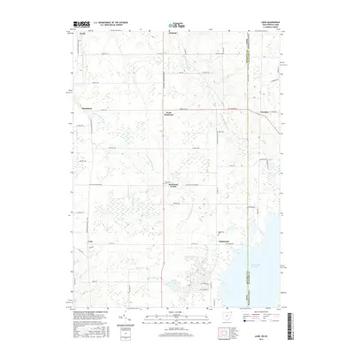
 1907 Andover1907 Print · USGSThe Ohio-Pennsylvania borderlands near Andover are captured here during a period of significant railway expansion. Local historians can trace early mail routes and church sites like the Williamsfield P O, South Denmark Church, and the vanished crossroads of Padanaram.4 unique versions available
 - 1908 Map of Linesville
 1908 Linesville1908 Print · USGSCrawford County at the turn of the century is a landscape of expansive wetlands and rising rail towns. Genealogists can trace family roots through numerous country schools like Brush College School or locate the historic Steamboat Route on Conneaut Lake.4 unique versions available
 - 1950 Map of Cleveland
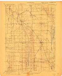
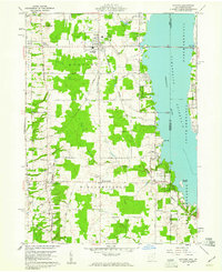
 1950 Cleveland1950 Print · USGSCovers Pymatuning Central, including Cleveland, Akron, and other nearby areas
 - 1956 Map of Cleveland, 1967 Print
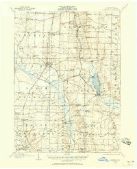
 1956 Cleveland1967 Print · USGSNortheast Ohio and Western Pennsylvania are shown at their industrial height during the mid-fifties, from the steel mills to the lakeshore. Researchers can trace the massive Ravenna Arsenal, the Ohio Turnpike, and vanished rail sidings of the B & O RR.3 unique versions available
 - 1959 Map of Hartstown, 1960 Print
 1959 Hartstown1960 Print · USGSCrawford County's western edge transitioned into a major recreational and conservation landscape in the late fifties. Genealogists can trace family footprints at Patton Cem or Southside Cem and locate vanished schoolhouses like North Shenango Sch.3 unique versions available
 - 1959 Map of Andover, 1961 Print
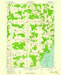
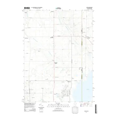
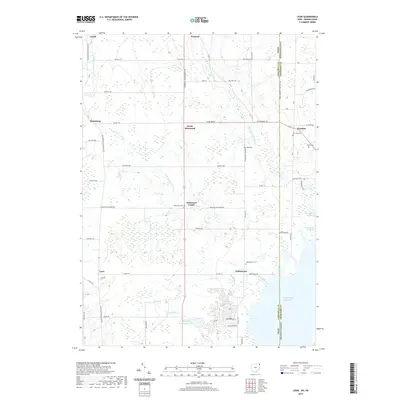
 1959 Andover1961 Print · USGSAndover and Williamsfield sit at the edge of the Pymatuning Reservoir in the late fifties, where rural life meets a growing recreation industry. Researchers can trace family sites like Maple Grove Cem, the New York Central rail line, and the local Drive-in Theater.4 unique versions available
 - 1959 Map of Leon, 1961 Print
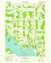
 1959 Leon1961 Print · USGSThe Ohio-Pennsylvania borderlands come into focus in the late fifties as the Pymatuning Reservoir dominates the local landscape. Researchers can trace the heritage of rural Richmond and Pierpont through landmarks like Richmond Cem, Pennline Ch, and the New York Central railroad.6 unique versions available
 - 1959 Map of Linesville, 1961 Print
 1959 Linesville1961 Print · USGSLinesville and the Crawford County countryside are shown here in the late fifties as the local landscape adapted to the Pymatuning impoundment. Researchers can trace numerous small burial grounds like Manning Cem and Quaker Cem or find landmarks like the State Fish Hatchery.3 unique versions available
 - 1962 Map of Cleveland
 1962 Cleveland1962 Print · USGSNortheast Ohio and the Pennsylvania borderlands appear here during the industrial peak of the early sixties. Genealogists and historians can trace the expansive rail lines of the Nickel Plate Road and the growth of suburbs from Parma to Lyndhurst.
 - 1986 Map of Ashtabula
 1986 Ashtabula1986 Print · USGSThe Lake Erie shoreline and the rural borderlands of Ohio and Pennsylvania are captured here as they appeared in the 1980s. You can trace industrial rail lines like the BESSEMER AND LAKE ERIE or locate family sites near Kelloggsville Cem and Pymatuning State Park.2 unique versions available
 - 1994 Map of Andover, 1997 Print
 1994 Andover1997 Print · USGSAshtabula County and the Pennsylvania borderlands appear here in the mid-nineties, centered on the village of Andover. Researchers can trace family history through the West Lawn and Simons cemeteries or locate recreational landmarks like the Drive-in Theater.
 - 1994 Map of Leon, 1997 Print
 1994 Leon1997 Print · USGSThe Ohio-Pennsylvania borderlands near the turn of the millennium retain a deep rural character centered on the Ashtabula River headwaters. Genealogists and local historians can trace family sites at Pennline Cem, Richmond Center, and the small settlement of Leon.
 - 2010 Map of Andover, 2010 Print
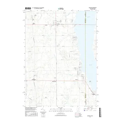
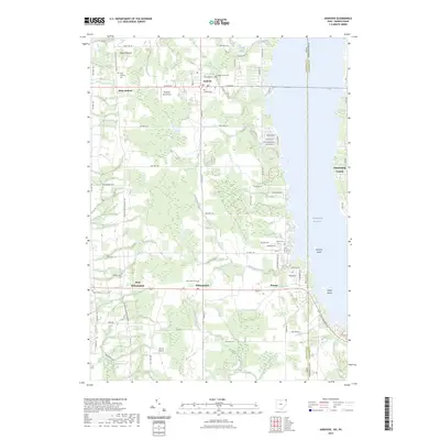
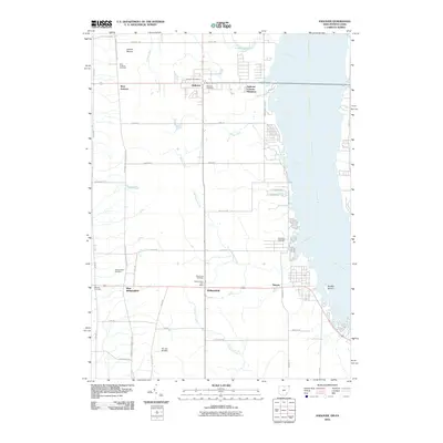 2010 Andover2010 Print · USGSCovers Pymatuning Central, including Williamsfield, Andover, and other nearby areas
 - 2010 Map of Leon, 2010 Print
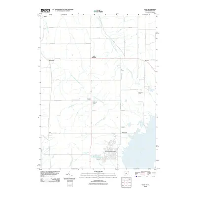 2010 Leon2010 Print · USGSCovers Pymatuning Central, including Pierpont Township, Denmark Township, and other nearby areas
 - 2013 Map of Leon, 2013 Print
 2013 Leon2013 Print · USGSCovers Pymatuning Central, including Pierpont Township, Denmark Township, and other nearby areas
 - 2013 Map of Andover, 2013 Print
 2013 Andover2013 Print · USGSCovers Pymatuning Central, including Williamsfield, Andover, and other nearby areas
 - 2016 Map of Andover, 2016 Print
 2016 Andover2016 Print · USGSCovers Pymatuning Central, including Williamsfield, Andover, and other nearby areas
 - 2016 Map of Leon, 2016 Print
 2016 Leon2016 Print · USGSCovers Pymatuning Central, including Pierpont Township, Denmark Township, and other nearby areas
 - 2019 Map of Leon, 2019 Print
 2019 Leon2019 Print · USGSCovers Pymatuning Central, including Pierpont Township, Denmark Township, and other nearby areas
 - 2019 Map of Andover, 2019 Print
 2019 Andover2019 Print · USGSCovers Pymatuning Central, including Williamsfield, Andover, and other nearby areas
 - 2023 Map of Hartstown, 2023 Print
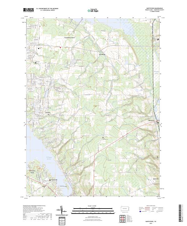 2023 Hartstown2023 Print · USGSCrawford County's wetland and reservoir landscape is captured here in the early twenty-first century, showing the intersection of modern recreation and historic infrastructure. Genealogists can trace family plots at South Shenango Cem or Hughes Cem while historians locate remnants of the Erie Extension Canal.
 - 2023 Map of Linesville, 2023 Print
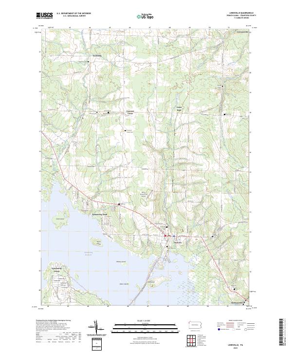 2023 Linesville2023 Print · USGSCrawford County at the start of the 2020s shows a landscape where lakeside recreation at the Pymatuning Reservoir meets deep-rooted rural history. Researchers can trace family sites through numerous burial grounds like Sacred Heart Cem and Frey Cem or locate the small airfields and hamlets of Linesville and Steamburg.
 - 2023 Map of Andover, 2023 Print
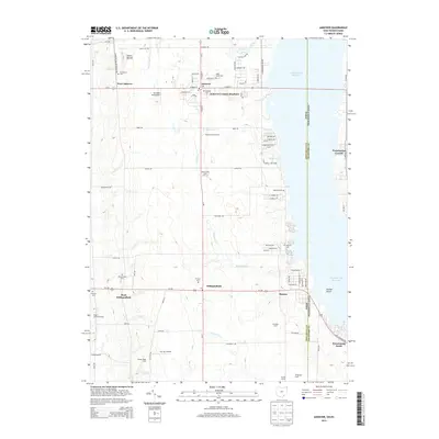
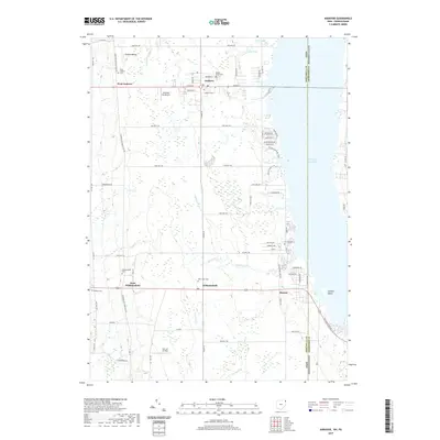
 2023 Andover2023 Print · USGSThe Ohio-Pennsylvania state line is captured here as it bisects the Pymatuning Reservoir in the early twenty-first century. Genealogists and historians can trace numerous family burial grounds including Simons Cem and West Lawn Cem, or locate the ancient Owens Mound.
Showing maps 1-25 of 26
Top cities near Pymatuning Central
- Greenville historical maps
- Shenango historical maps
- Kinsman Township historical maps
- Kinsman historical maps
- Johnston historical maps
- Johnston Township historical maps
See more
Top neighborhoods of Pymatuning Central
Frequently asked questions
- What are the different types of historical maps available for Pymatuning Central?
- What is the oldest map of Pymatuning Central?
- Where can I purchase historical maps of Pymatuning Central for my home or office?
- Where can I download high-res historical maps of Pymatuning Central?
- Are there historical topographic maps available for Pymatuning Central?
- Is there historical aerial imagery available for Pymatuning Central?
- Where are historical maps of Pymatuning Central sourced from?