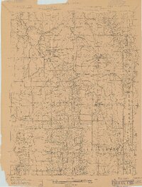
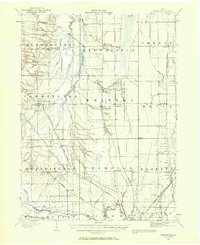
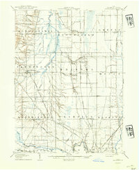
1905 Map of Andover
USGS Topo · Published 1905About this map
The Lake Shore and Michigan Southern Railroad dominates this 1905 landscape, tracing a vital transportation corridor through the eastern edge of Ashtabula County. This survey captures a series of agrarian and rail-centered communities just after the turn of the century, including Andover, Dorset, and Williamsfield. The map reveals the early industrial infrastructure of the region, such as the Cooperage Co RR and several local mills situated along the waterways.
Find a feature on this map
47 named features on this map. Tap any name to fly to it.
Don’t see what you’re looking for? This feature index may not catch every label — zoom into the map to look around manually.
Map Details
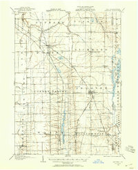
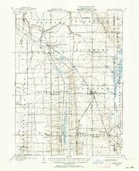
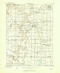
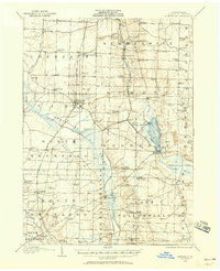
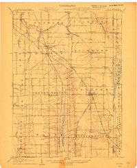
Editions of this 1905 Andover Map
3 editions found
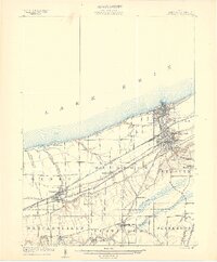
Other maps of this area

1900 · Girard
USGS Topo · 1:62,500
1905 · Ashtabula
USGS Topo · 1:62,500
1905 · Bristolville
USGS Topo · 1:62,500
1905 · Jefferson
USGS Topo · 1:62,500

1906 · Conneaut
USGS Topo · 1:62,500
1906 · Linesville
USGS Topo · 1:62,500
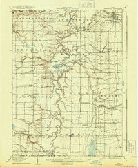
1907 · Andover
USGS Topo · 1:62,500

1907 · Kinsman
USGS Topo · 1:62,500
1907 · Bristolville
USGS Topo · 1:62,500
1907 · Jefferson
USGS Topo · 1:62,500
Featured Places
- Jefferson, OH
- Jefferson Township, OH
- Williamsfield, Williamsfield Township
- Andover, OH
- Dorset, Dorset Township