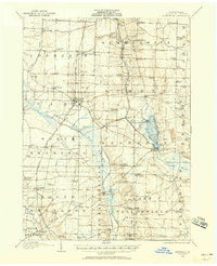
1906 Map of Linesville
USGS Topo · Published 1958About this map
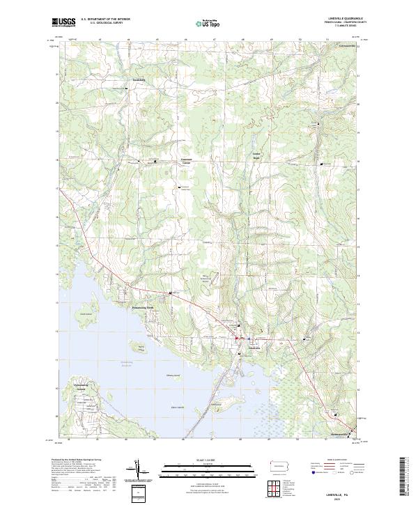
Linesville stands as a primary railroad hub in this early twentieth-century Crawford County landscape, where the Bessemer and Lake Erie Railroad and the Pennsylvania System intersect. The terrain is defined by the extensive Pymatuning Swamp and the headwaters of the Shenango River, a complex wetland system that preceded the mid-century reservoir projects. To the east, Conneaut Lake is a focal point of activity, featuring the developed Exposition Park and numerous local schools such as Faust School and Dennis School. Small agricultural and rail-stop communities like Espyville, Harmonsburg, and Hartstown dot the landscape, connected by a network of rural roads. Genealogists will find a wealth of specific landmarks, including family-named sites like Marshall Corners and Dantown, along with a high density of one-room schoolhouses such as Brush College School and Townline School that once served these dispersed farming townships.
Find a feature on this map
89 named features on this map. Tap any name to fly to it.
Don’t see what you’re looking for? This feature index may not catch every label — zoom into the map to look around manually.
Map Details
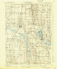
Editions of this 1906 Linesville Map
This is the sole edition of this map. No revisions or reprints were ever made.
Historical Maps of Linesville Through Time
8 maps found
Featured Locations
- Linesville, PA
- Conneaut Lake, PA
- Summerhill Township, PA
- Pymatuning Central, PA
- West Fallowfield Township, PA