
Historical Maps of Crawford County, Pennsylvania
What stories do these 205 old maps tell about Crawford County's past? From 1900 to present day, these maps reveal the evolution of streets, neighborhoods, iconic landmarks, and natural features in stunning high-res detail. Whether you're a history enthusiast, genealogist, or professional in education, environmental work, or architecture, these maps are perfect for exploration, research, and discovery.
Discover Crawford County's history through maps:
- Trace Crawford County's growth: Explore earlier and latest maps and editions to uncover how the region changed over time.
- Examine technical details: Each map includes its creators, publishers, scale, dimensions, and full source information.
- Layer maps with modern tools & imagery: Compare historical maps to modern-day with high-resolution satellite imagery and detailed LiDAR layers.
- Sourced from trusted archives: Carefully preserved and digitized by institutions like the United Stated Geological Survey and the US Library of Congress.
- Access in any format: View and explore in high resolution, download for offline use, or order a museum-quality print for yourself or a loved one.
Begin your journey into Crawford County's history with these remarkable must-see maps.
Crawford County, PA maps
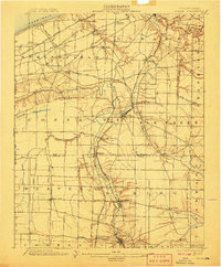
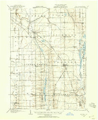
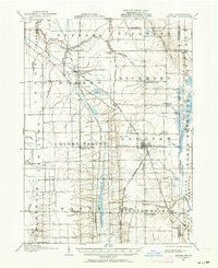
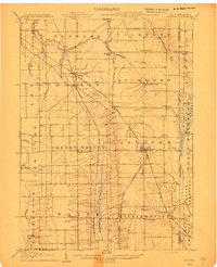
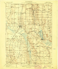
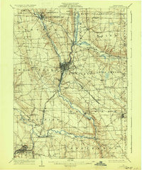
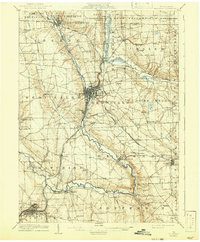
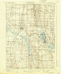
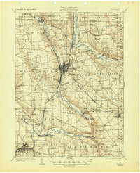
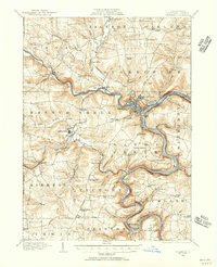
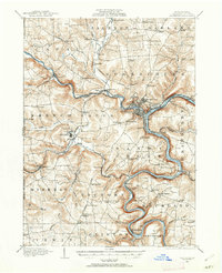
(205)- 1900 Map of Girard
 1900 Girard1900 Print · USGSCovers Crawford County, including Fairview Township, Spring Township, and other nearby areas
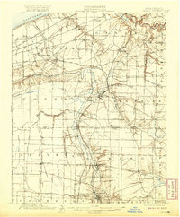
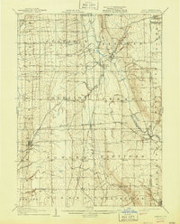
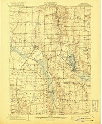
 - 1900 Map of Girard, 1907 Print
 1900 Girard1907 Print · USGSCovers Crawford County, including Fairview Township, Spring Township, and other nearby areas
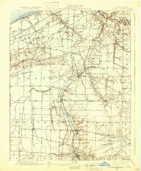
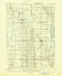
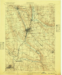
 - 1900 Map of Girard, 1920 Print
 1900 Girard1920 Print · USGSCovers Crawford County, including Fairview Township, Spring Township, and other nearby areas
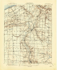
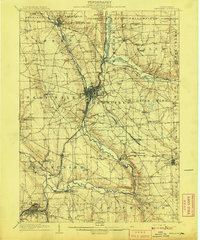
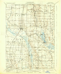
 - 1900 Map of Girard, 1932 Print
 1900 Girard1932 Print · USGSCovers Crawford County, including Fairview Township, Spring Township, and other nearby areas
 - 1900 Map of Girard, 1944 Print
 1900 Girard1944 Print · USGSCovers Crawford County, including Fairview Township, Spring Township, and other nearby areas
 - 1905 Map of Andover, 1958 Print
 1905 Andover1958 Print · USGSCovers Crawford County, including Jefferson Township, Jefferson, and other nearby areas
 - 1905 Map of Andover, 1964 Print
 1905 Andover1964 Print · USGSCovers Crawford County, including Jefferson Township, Jefferson, and other nearby areas
 - 1906 Map of Conneaut, 1943 Print
 1906 Conneaut1943 Print · USGSCovers Crawford County, including Conneaut, Jefferson Township, and other nearby areas
 - 1906 Map of Conneaut, 1950 Print
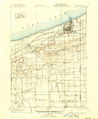 1906 Conneaut1950 Print · USGSCovers Crawford County, including Conneaut, Jefferson Township, and other nearby areas
 - 1906 Map of Linesville, 1958 Print
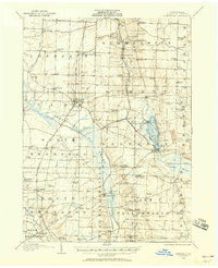 1906 Linesville1958 Print · USGSCovers Crawford County, including Linesville, Conneaut Lake, and other nearby areas
 - 1907 Map of Andover
 1907 Andover1907 Print · USGSCovers Crawford County, including Jefferson Township, Jefferson, and other nearby areas
 - 1907 Map of Kinsman, 1940 Print
 1907 Kinsman1940 Print · USGSCovers Crawford County, including Howland Township, Hermitage, and other nearby areas
 - 1907 Map of Kinsman, 1944 Print
 1907 Kinsman1944 Print · USGSCovers Crawford County, including Howland Township, Hermitage, and other nearby areas
 - 1907 Map of Andover, 1946 Print
 1907 Andover1946 Print · USGSCovers Crawford County, including Jefferson Township, Jefferson, and other nearby areas
 - 1908 Map of Shenango
 1908 Shenango1908 Print · USGSCovers Crawford County, including Hermitage, Sharon, and other nearby areas
 - 1908 Map of Linesville
 1908 Linesville1908 Print · USGSCovers Crawford County, including Linesville, Conneaut Lake, and other nearby areas
 - 1908 Map of Linesville, 1917 Print
 1908 Linesville1917 Print · USGSCovers Crawford County, including Linesville, Conneaut Lake, and other nearby areas
 - 1908 Map of Shenango, 1920 Print
 1908 Shenango1920 Print · USGSCovers Crawford County, including Hermitage, Sharon, and other nearby areas
 - 1908 Map of Linesville, 1931 Print
 1908 Linesville1931 Print · USGSCovers Crawford County, including Linesville, Conneaut Lake, and other nearby areas
 - 1908 Map of Shenango, 1933 Print
 1908 Shenango1933 Print · USGSCovers Crawford County, including Hermitage, Sharon, and other nearby areas
 - 1908 Map of Shenango, 1942 Print
 1908 Shenango1942 Print · USGSCovers Crawford County, including Hermitage, Sharon, and other nearby areas
 - 1908 Map of Linesville, 1943 Print
 1908 Linesville1943 Print · USGSCovers Crawford County, including Linesville, Conneaut Lake, and other nearby areas
 - 1908 Map of Shenango, 1944 Print
 1908 Shenango1944 Print · USGSCovers Crawford County, including Hermitage, Sharon, and other nearby areas
 - 1909 Map of Franklin, 1956 Print
 1909 Franklin1956 Print · USGSCovers Crawford County, including Cranberry Township, Franklin, and other nearby areas
 - 1909 Map of Franklin, 1962 Print
 1909 Franklin1962 Print · USGSCovers Crawford County, including Cranberry Township, Franklin, and other nearby areas
Showing maps 1-25 of 205
Top cities in Crawford County
- Meadville historical maps
- Titusville historical maps
- Cambridge Springs historical maps
- Spring Township historical maps
- Linesville historical maps
- Cochranton historical maps
See more
Frequently asked questions
- What are the different types of historical maps available for Crawford County?
- What is the oldest map of Crawford County?
- Where can I purchase historical maps of Crawford County for my home or office?
- Where can I download high-res historical maps of Crawford County?
- Are there historical topographic maps available for Crawford County?
- Is there historical aerial imagery available for Crawford County?
- Where are historical maps of Crawford County sourced from?