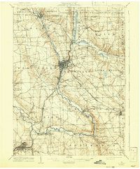
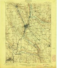
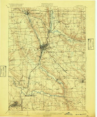
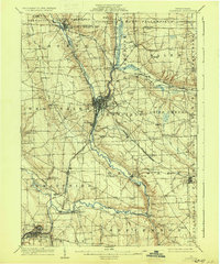
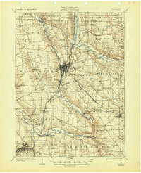
1908 Map of Shenango
USGS Topo · Published 1942About this map
The Shenango River corridor serves as the industrial and transit spine of this Mercer County landscape, where the iron and rail economy of the early twentieth century is clearly visible. Dominating the central valley, Greenville and Sharpsville appear as major hubs, surrounded by a dense network of competing lines including the Bessemer and Lake Erie RR and the Erie and Pittsburgh RR. One of the most significant historical markers is the Beaver and Erie Canal (Abandoned), its path still traced alongside the river as it gives way to the burgeoning railroad era.
Find a feature on this map
74 named features on this map. Tap any name to fly to it.
Don’t see what you’re looking for? This feature index may not catch every label — zoom into the map to look around manually.
Map Details
Editions of this 1908 Shenango Map
5 editions found
Historical Maps of Hermitage Through Time
15 maps found
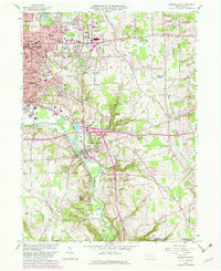
1908 Shenango
Mercer County, PA
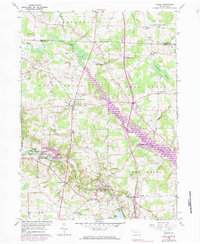
1958 Greenfield
Mercer County, PA
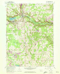
1958 Greensville East
Mercer County, PA
1958 Greenville West
Mercer County, PA
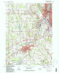
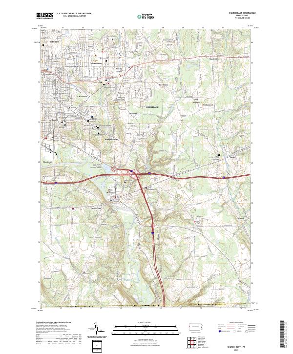
1958 Sharon East
Mercer County, PA
1960 Hadley
Mercer County, PA
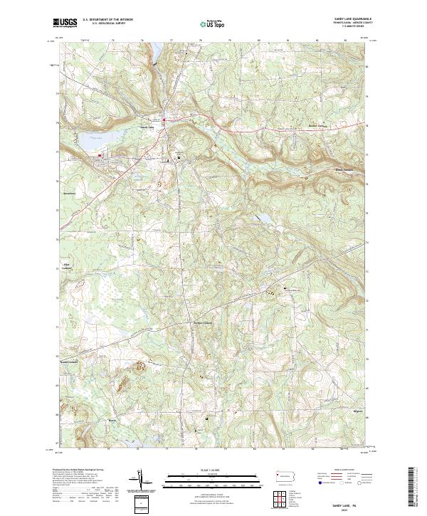
1960 Sandy Lake
Mercer County, PA
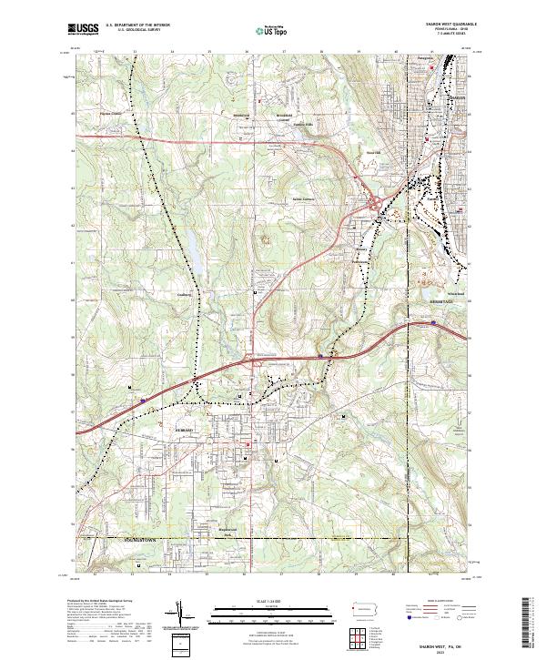
1994 Sharon West
Mercer County, PA
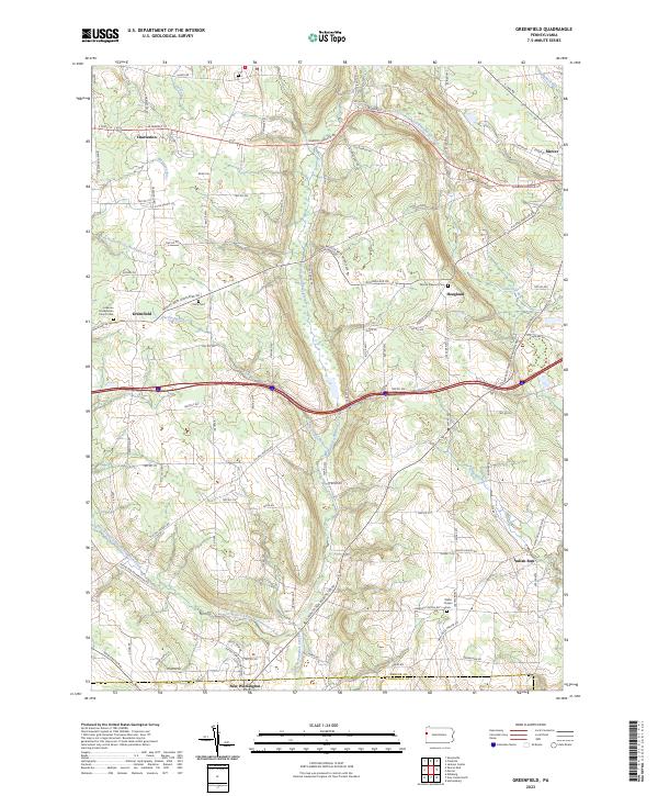
2023 Greenfield
Mercer County, PA
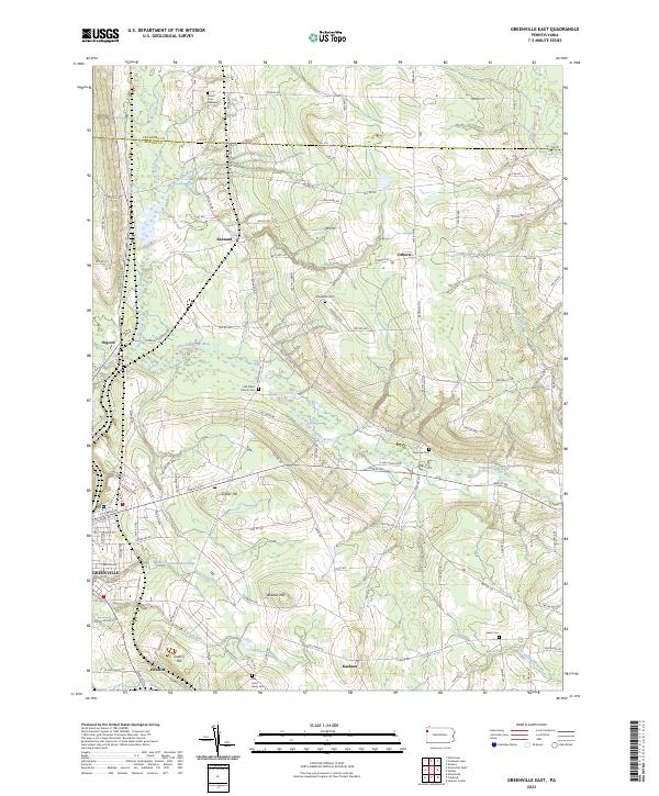
2023 Greenville East
Mercer County, PA
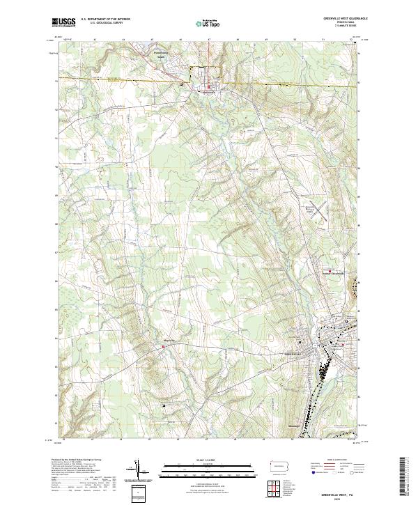
2023 Greenville West
Mercer County, PA
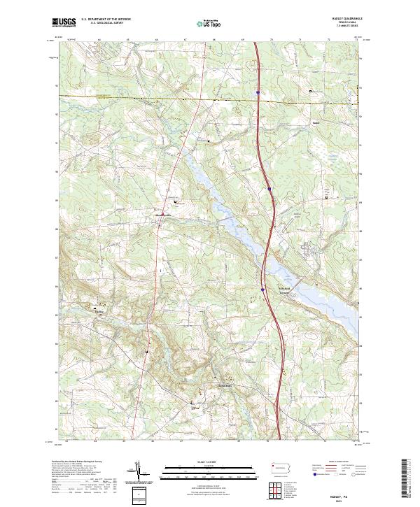
2023 Hadley
Mercer County, PA
2023 Sandy Lake
Mercer County, PA
2023 Sharon East
Mercer County, PA
2023 Sharon West
Mercer County, PA