
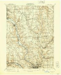
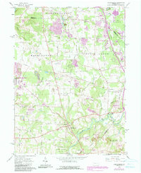
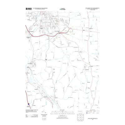
1905 Map of Neshannock
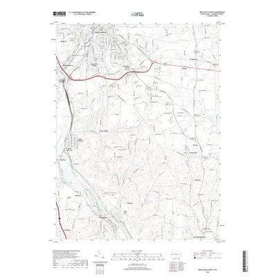
USGS Topo · Published 1960About this map
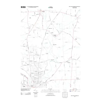
The industrial and agricultural corridors of Lawrence and Mercer Counties are defined here by a dense network of early 20th-century railroads following the Shenango River and Neshannock Creek. Major transport lines including the Erie RR and Pennsylvania RR connect steel-producing hubs like Sharon and South Sharon with rural hinterlands. This survey preserves a landscape where small hamlets like Frizzleburg and New Virginia existed alongside numerous family-named schoolhouses such as Cotton School and Boone School.
Find a feature on this map
87 named features on this map. Tap any name to fly to it.
Don’t see what you’re looking for? This feature index may not catch every label — zoom into the map to look around manually.
Map Details
Editions of this 1905 Neshannock Map
This is the sole edition of this map. No revisions or reprints were ever made.
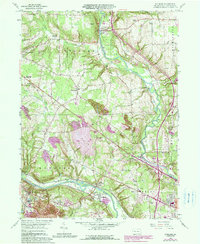
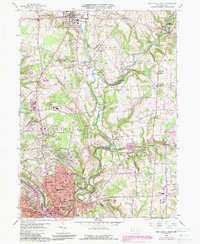
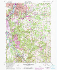
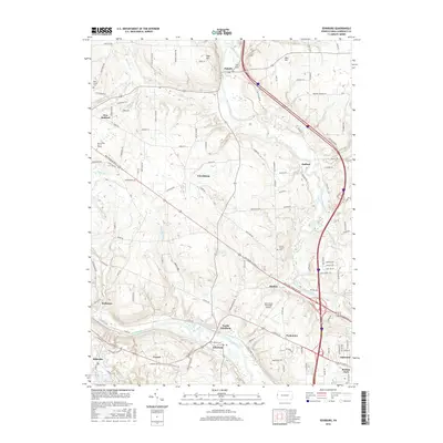
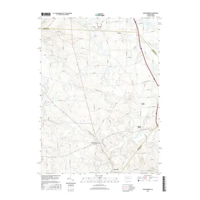
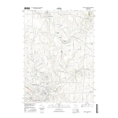
Historical Maps of New Castle Through Time
26 maps found
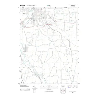
1905 Neshannock
Lawrence County, PA
1907 Neshannock
Lawrence County, PA
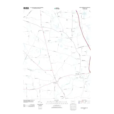
1958 Edinburg
Lawrence County, PA
1958 New Castle North
Lawrence County, PA
1958 New Castle South
Lawrence County, PA
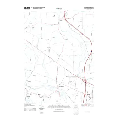
1961 Harlansburg
Lawrence County, PA
2010 Edinburg
Lawrence County, PA
2010 Harlansburg
Lawrence County, PA
2010 New Castle North
Lawrence County, PA
2010 New Castle South
Lawrence County, PA
2013 Edinburg
Lawrence County, PA
2013 Harlansburg
Lawrence County, PA
2013 New Castle North
Lawrence County, PA
2013 New Castle South
Lawrence County, PA
2016 Edinburg
Lawrence County, PA
2016 Harlansburg
Lawrence County, PA
2016 New Castle North
Lawrence County, PA
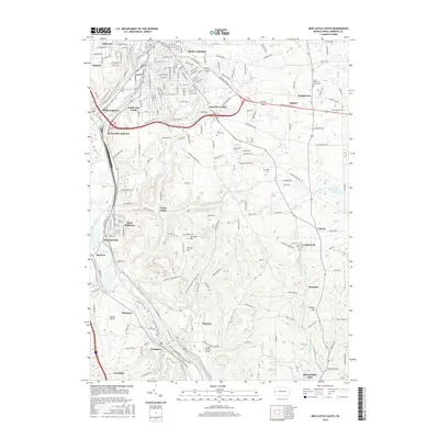
2016 New Castle South
Lawrence County, PA
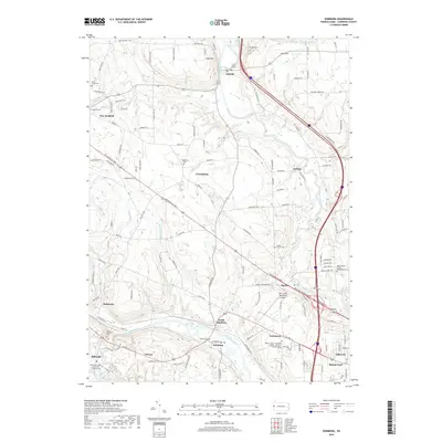
2019 Edinburg
Lawrence County, PA
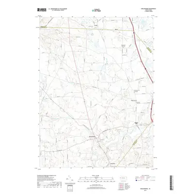
2019 Harlansburg
Lawrence County, PA
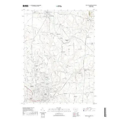
2019 New Castle North
Lawrence County, PA
2019 New Castle South
Lawrence County, PA
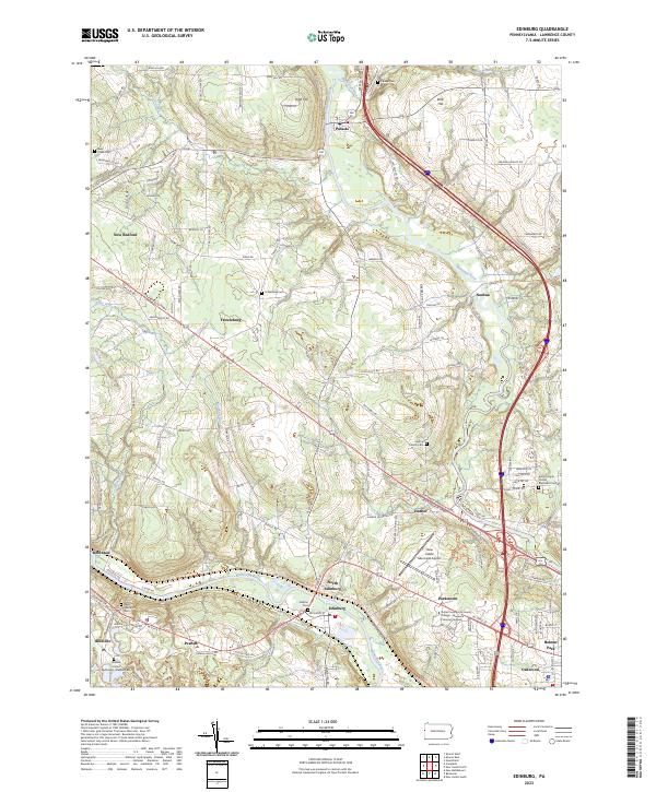
2023 Edinburg
Lawrence County, PA
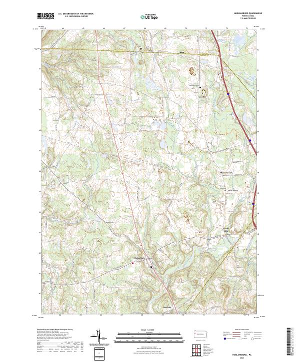
2023 Harlansburg
Lawrence County, PA
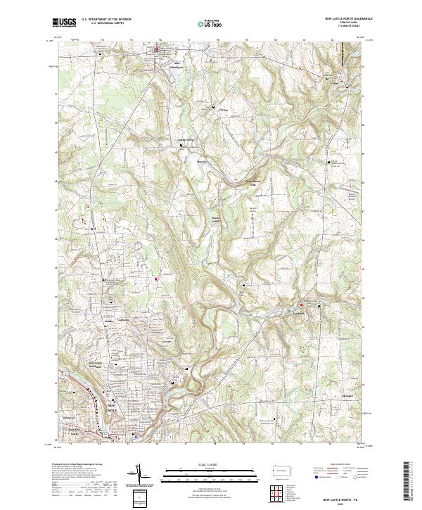
2023 New Castle North
Lawrence County, PA
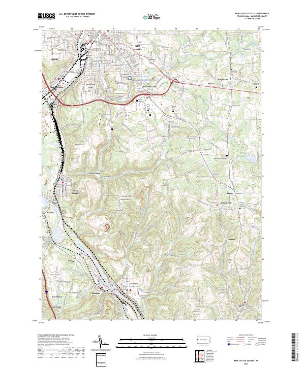
2023 New Castle South
Lawrence County, PA