
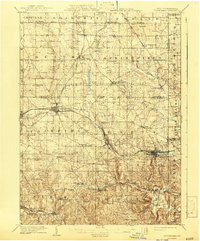
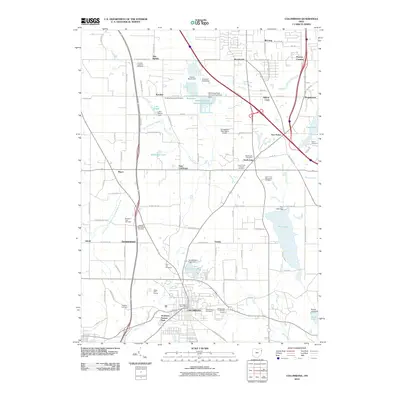
1907 Map of Columbiana
USGS Topo · Published 1958About this map
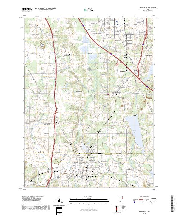
Pennsylvania System and Pittsburgh Lisbon and Western railroad lines crisscross this industrial and agricultural landscape at the turn of the century. The map documents the intricate network of the Connecticut Western Reserve boundary and the shifting border between Ohio and Pennsylvania. Heavy industry and extraction are evident through the presence of Coal mines near Woodworth, fueling the growth of manufacturing centers like Columbiana and Leetonia.
Find a feature on this map
77 named features on this map. Tap any name to fly to it.
Don’t see what you’re looking for? This feature index may not catch every label — zoom into the map to look around manually.
Map Details
Editions of this 1907 Columbiana Map
This is the sole edition of this map. No revisions or reprints were ever made.
Historical Maps of Unity Through Time
10 maps found
1907 Columbiana
Columbiana County, OH
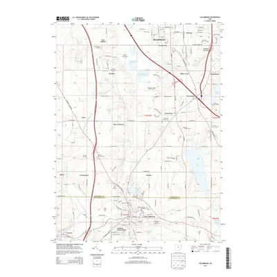
1909 Columbiana
Columbiana County, OH
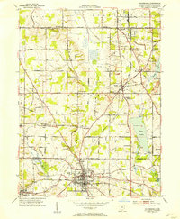
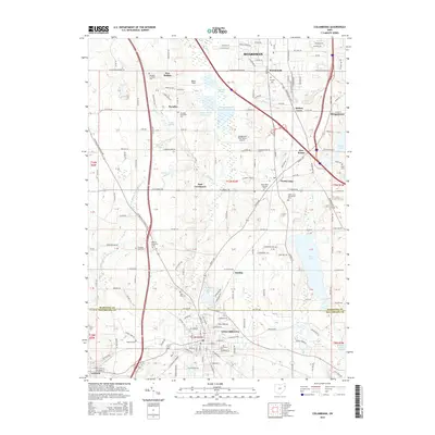
1951 Columbiana
Columbiana County, OH
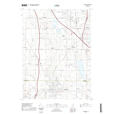
1962 Columbiana
Columbiana County, OH
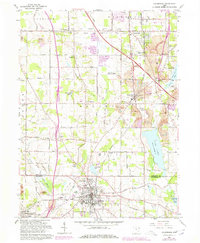
1994 Columbiana
Columbiana County, OH
2010 Columbiana
Columbiana County, OH
2013 Columbiana
Columbiana County, OH
2016 Columbiana
Columbiana County, OH
2019 Columbiana
Columbiana County, OH
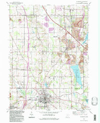
2023 Columbiana
Columbiana County, OH