
1904 Map of Wellsville
USGS Topo · Published 1904About this map
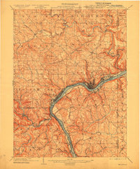
The Ohio River serves as the dominant artery of this 1904 survey, winding past the industrial riverfront of Wellsville. This river corridor was a critical junction of transport at the start of the century, where the Cleveland and Pittsburg R. R. and the Pennsylvania R. R. follow the water's edge, connecting the tri-state region of Ohio, Pennsylvania, and West Virginia. Away from the valley, the landscape rises toward Round Knob, while numerous small crossings like Grimm's Bridge and sites such as Cannon's Mill indicate a rural economy built around the drainage of Little Beaver Creek. The map records a dense network of upland settlements including Calcutta and West Point, and riverside hamlets like Arroyo and Glasgow, reflecting the region's early twentieth-century transition from dispersed milling and farming toward concentrated rail-and-river industry.
Find a feature on this map
37 named features on this map. Tap any name to fly to it.
Don’t see what you’re looking for? This feature index may not catch every label — zoom into the map to look around manually.
Map Details
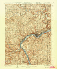
Editions of this 1904 Wellsville Map
3 editions found
Other maps of this area

1901 · Cadiz
USGS Topo · 1:62,500

1901 · Beaver
USGS Topo · 1:62,500

1902 · New Castle
USGS Topo · 1:62,500

1903 · Cadiz
USGS Topo · 1:62,500

1904 · Newcastle
USGS Topo · 1:62,500

1904 · Steubenville
USGS Topo · 1:62,500

1904 · Beaver
USGS Topo · 1:62,500

1904 · Burgettstown
USGS Topo · 1:62,500

1905 · Salineville
USGS Topo · 1:62,500

1906 · Burgettstown
USGS Topo · 1:62,500