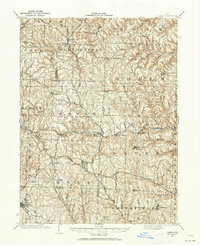
1903 Map of Cadiz
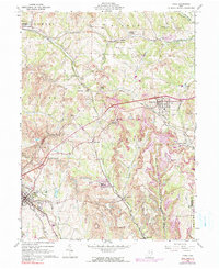
USGS Topo · Published 1941About this map
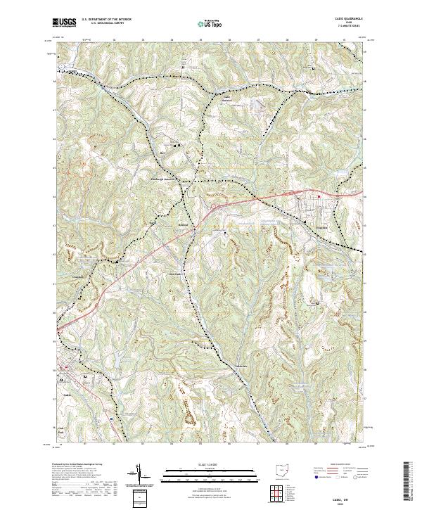
Cross Creek and its many tributaries carve through the rolling landscape of eastern Ohio, defining the settlement patterns of Harrison and Jefferson counties at the turn of the century. The region is characterized by a dense network of small villages and rail-dependent hamlets, where the Pittsburgh Cincinnati Chicago and St. Louis and the Wheeling and Lake Erie railroads provided essential connections to industrial hubs. Notable stations and crossings include Miller Sta. and Fairplay Bloomfield Sta., which supported established towns like Smithfield and Richmond. Higher elevations are defined by named ridges such as Pigeon Ridge and Quaker Ridge, while local industry and agriculture are situated near water sources like Piney Fork and Town Fork. This survey by W.T. Griswold documents the intricate system of township boundaries, from Springfield to Wayne, during a period of peak rail activity before modern highway development reshaped these valley communities.
Find a feature on this map
69 named features on this map. Tap any name to fly to it.
Don’t see what you’re looking for? This feature index may not catch every label — zoom into the map to look around manually.
Map Details
Editions of this 1903 Cadiz Map
This is the sole edition of this map. No revisions or reprints were ever made.
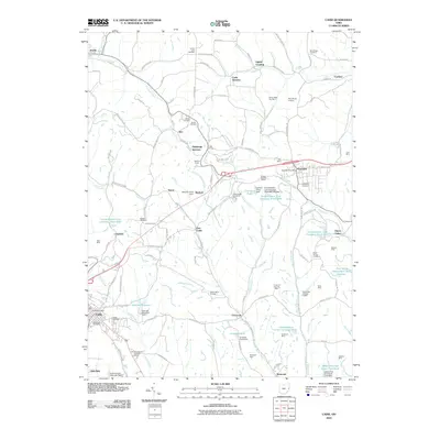
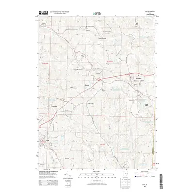
Historical Maps of Cadiz Through Time
8 maps found