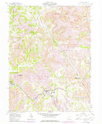
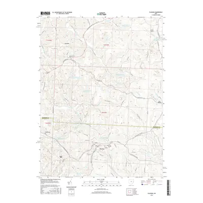
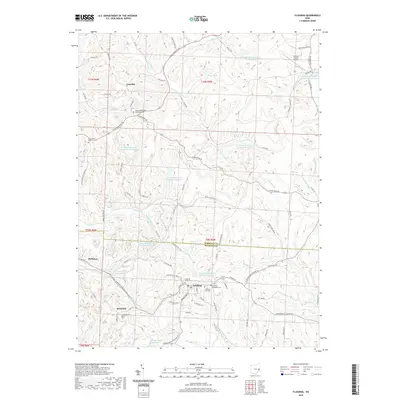
1903 Map of Flushing
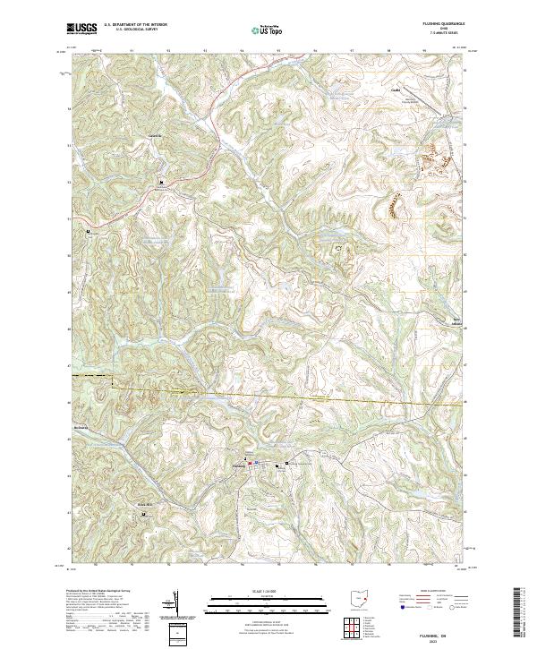
USGS Topo · Published 1959About this map
Stillwater Creek and its many tributaries, such as Sixmile Run and Boggs Run, define the rolling topography of this eastern Ohio landscape. Surveyed originally in 1903, the map shows the transition from the rugged drainage of the creek valley to the established transit corridors of the National Turnpike in the south. Two major railroads, the Cleveland Lorain and Wheeling and the Baltimore and Ohio, serve as the primary industrial lifelines, connecting coal-rich settlements like Holloway and Piedmont with larger markets.
Find a feature on this map
67 named features on this map. Tap any name to fly to it.
Don’t see what you’re looking for? This feature index may not catch every label — zoom into the map to look around manually.
Map Details
Editions of this 1903 Flushing Map
This is the sole edition of this map. No revisions or reprints were ever made.
Historical Maps of Barnesville Through Time
9 maps found