
1909 Map of Uhrichsville
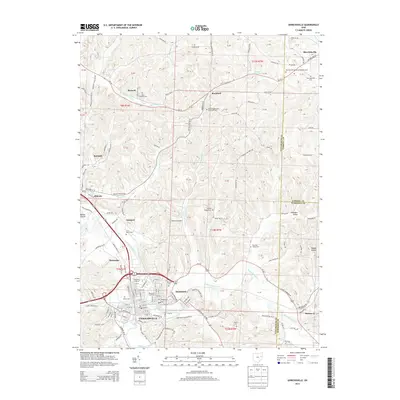
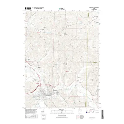
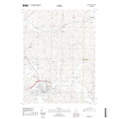
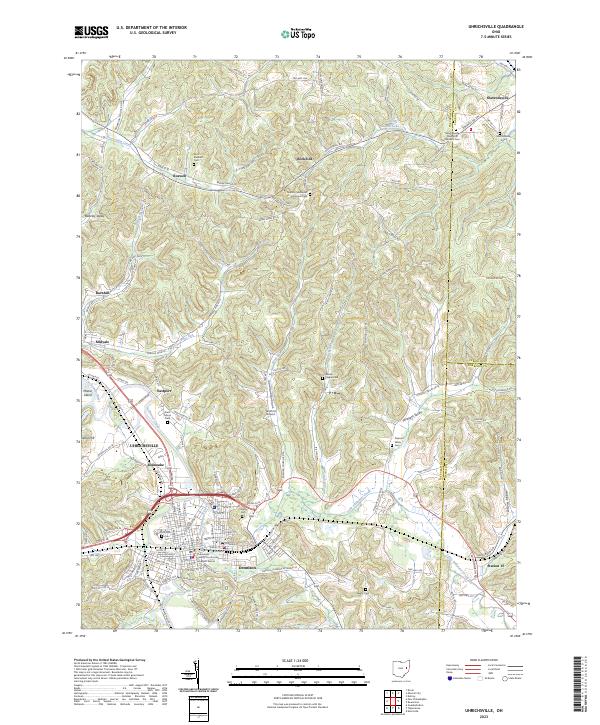
USGS Topo · Published 1956About this map
The Tuscarawas River and the winding Stillwater Creek dominate the landscape of this eastern Ohio region at the turn of the century. The twin cities of Uhrichsville and Dennison serve as a significant rail hub, where the P C C and St L RR meets the regional line. Industrial and transport history is deeply etched into the valley, notably through the presence of the Ohio Canal and Lock No 17 Seventeen PO, which reflect an era of water-based commerce transitioning to a dominant rail network. Numerous rural settlements like Gnadenhutten, Barnhill, and Wainwright are scattered among the ridges, supported by a dense network of country schools such as Grange Hill School and Sunny Hollow School. The map also identifies the County Infirmary and the Philadelphia Road Station 15 PO, providing researchers with precise locations for civic and postal history.
Find a feature on this map
118 named features on this map. Tap any name to fly to it.
Don’t see what you’re looking for? This feature index may not catch every label — zoom into the map to look around manually.
Map Details
Editions of this 1909 Uhrichsville Map
This is the sole edition of this map. No revisions or reprints were ever made.
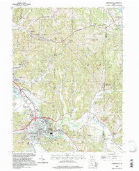
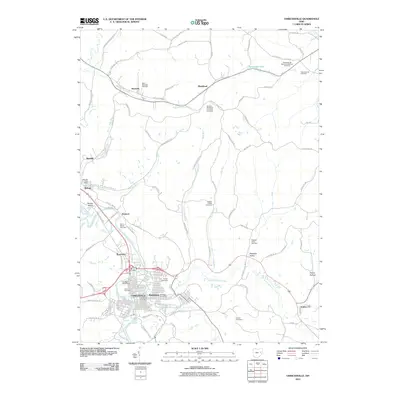
Historical Maps of New Philadelphia Through Time
10 maps found
1909 Uhrichsville
Tuscarawas County, OH

1911 Uhrichsville
Tuscarawas County, OH
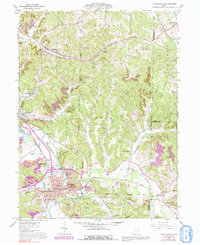
1961 Uhrichsville
Tuscarawas County, OH
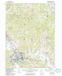
1993 Uhrichsville
Tuscarawas County, OH
1994 Uhrichsville
Tuscarawas County, OH
2010 Uhrichsville
Tuscarawas County, OH
2013 Uhrichsville
Tuscarawas County, OH
2016 Uhrichsville
Tuscarawas County, OH
2019 Uhrichsville
Tuscarawas County, OH
2023 Uhrichsville
Tuscarawas County, OH