
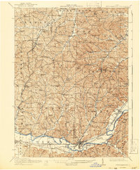
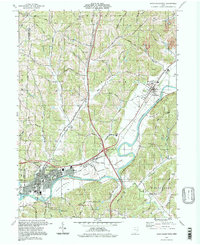
1911 Map of Newcomerstown
USGS Topo · Published 1959About this map
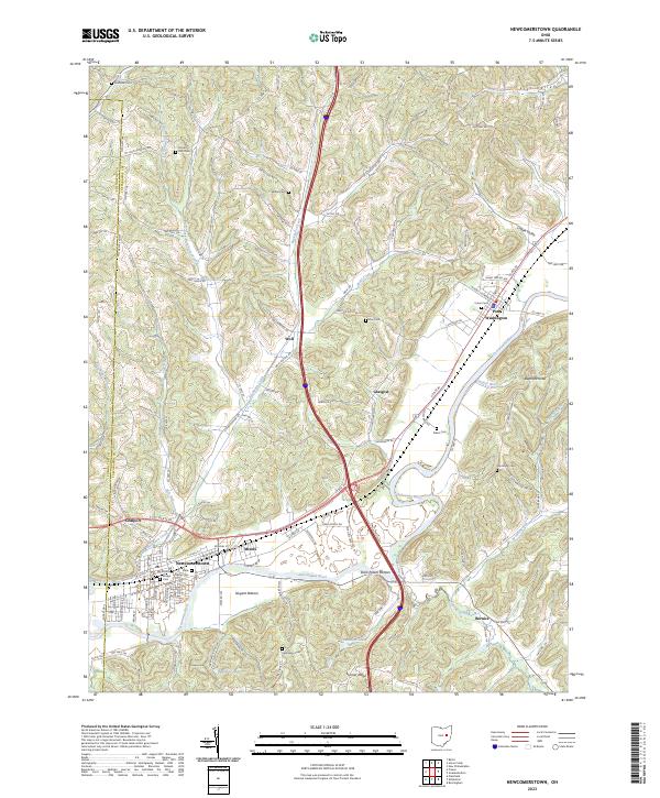
The Tuscarawas River valley serves as the central artery for this 1911 landscape, where the remnants of the Ohio Canal trace the riverbank through industrial and agricultural hubs. In the south, Newcomerstown and Port Washington are well-established rail junctions, served by the Pennsylvania System and the Pittsburgh Cincinnati Chicago and St Louis RR. The density of rural education is remarkable, with numbered schoolhouses like School No 6 and School No 10 peppered across the townships alongside family-named sites like Baker School and Steitz School.
Find a feature on this map
116 named features on this map. Tap any name to fly to it.
Don’t see what you’re looking for? This feature index may not catch every label — zoom into the map to look around manually.
Map Details
Editions of this 1911 Newcomerstown Map
This is the sole edition of this map. No revisions or reprints were ever made.
Historical Maps of Newcomerstown Through Time
11 maps found
1911 Newcomerstown
Tuscarawas County, OH
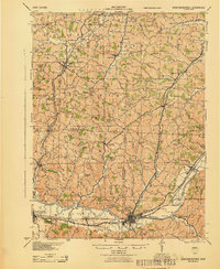
1913 Newcomerstown
Tuscarawas County, OH
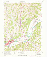
1943 Newcomerstown
Tuscarawas County, OH
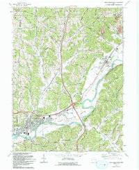
1961 Newcomerstown
Tuscarawas County, OH
1993 Newcomerstown
Tuscarawas County, OH
1994 Newcomerstown
Tuscarawas County, OH
2010 Newcomerstown
Tuscarawas County, OH
2013 Newcomerstown
Tuscarawas County, OH
2016 Newcomerstown
Tuscarawas County, OH
2019 Newcomerstown
Tuscarawas County, OH
2023 Newcomerstown
Tuscarawas County, OH