
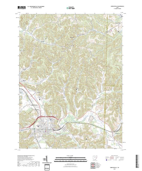
1911 Map of Uhrichsville
USGS Topo · Published 1937About this map
The Tuscarawas River and the Ohio and Erie Canal define the industrial and transit corridor of this region during the early twentieth century. Several major rail lines, including the Penna System and the Wheeling and Lake Erie RR, converge at industrial hubs like Uhrichsville and Dennison. The map captures a moment when post offices were often situated at canal locks or small rail stops, such as Lock No 17 Seventeen P O and Beidler P O. Beyond the valley floors, the landscape is densely populated with rural institutions, including dozens of named schoolhouses like Grange Hill School and Blizzard School. The settlement of Gnadenhutten sits prominently along the river, while the County Infirmary near New Philadelphia provides evidence of early twentieth-century social infrastructure.
Find a feature on this map
120 named features on this map. Tap any name to fly to it.
Don’t see what you’re looking for? This feature index may not catch every label — zoom into the map to look around manually.
Map Details
Editions of this 1911 Uhrichsville Map
This is the sole edition of this map. No revisions or reprints were ever made.
Historical Maps of New Philadelphia Through Time
10 maps found

1909 Uhrichsville
Tuscarawas County, OH
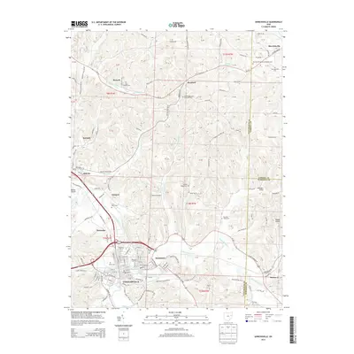
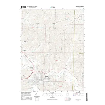
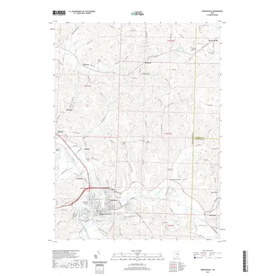
1911 Uhrichsville
Tuscarawas County, OH
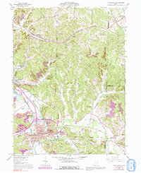
1961 Uhrichsville
Tuscarawas County, OH
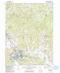
1993 Uhrichsville
Tuscarawas County, OH
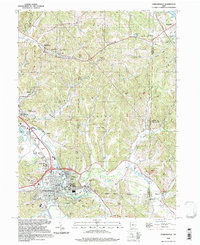
1994 Uhrichsville
Tuscarawas County, OH
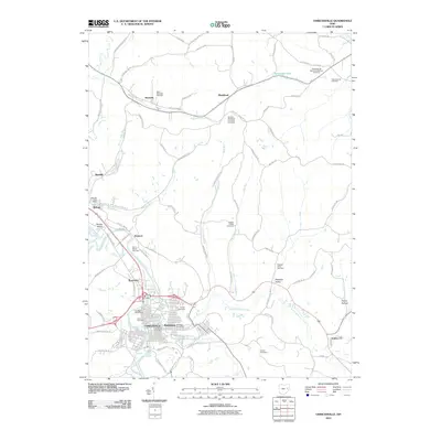
2010 Uhrichsville
Tuscarawas County, OH
2013 Uhrichsville
Tuscarawas County, OH
2016 Uhrichsville
Tuscarawas County, OH
2019 Uhrichsville
Tuscarawas County, OH
2023 Uhrichsville
Tuscarawas County, OH