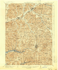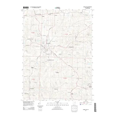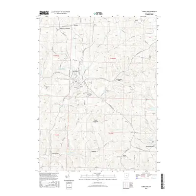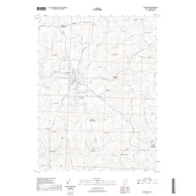
1910 Map of Carrollton
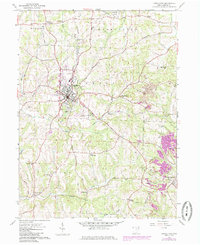
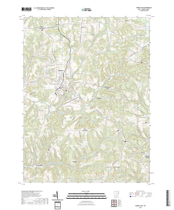
USGS Topo · Published 1957About this map
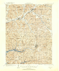
Carrollton serves as the focal point of this Eastern Ohio landscape, where the town grid is established at the intersection of local routes and the Penna RR. The surrounding townships, including Harrison, Washington, and Union, reveal a dense network of early 20th-century rural life characterized by a high concentration of one-room schoolhouses and country churches. Unique educational landmarks like Phalana Hall School and Dewey Hall School are scattered across the terrain, alongside civic institutions such as the County Infirmary.
Find a feature on this map
116 named features on this map. Tap any name to fly to it.
Don’t see what you’re looking for? This feature index may not catch every label — zoom into the map to look around manually.
Map Details
Editions of this 1910 Carrollton Map
This is the sole edition of this map. No revisions or reprints were ever made.
Historical Maps of Minerva Through Time
9 maps found