
1903 Map of Canton
USGS Topo · Published 1939About this map
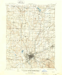
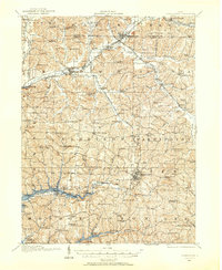
Canton stands at the heart of this early twentieth-century landscape, a bustling industrial hub where the Pennsylvania System and Wheeling and Lake Erie R. R. converge. The city's grid is surrounded by a dense network of smaller farming and manufacturing settlements, including New Berlin and Louisville. To the north, the terrain transitions into a glaciated lake region featuring Congress Lake and Meyers Lake, which provided both water resources and recreation for the growing population. Social infrastructure of the era is evidenced by the prominent County Infirmary and the sprawling Westlawn Cem on the city's western edge. The map captures a moment when railroads like the Cleveland Akron and Columbus R. R. dictated the location of trade centers like Hartville and Greentown, while many modern suburbs were still independent villages and hamlets.
Find a feature on this map
67 named features on this map. Tap any name to fly to it.
Don’t see what you’re looking for? This feature index may not catch every label — zoom into the map to look around manually.
Map Details
Editions of this 1903 Canton Map
2 editions found
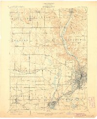
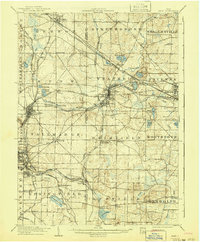
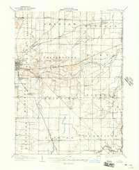
Other maps of this area

1901 · Massillon
USGS Topo · 1:62,500

1901 · Canton
USGS Topo · 1:62,500

1903 · Massillon
USGS Topo · 1:62,500

1903 · Akron
USGS Topo · 1:62,500
1905 · Akron
USGS Topo · 1:62,500
1906 · Kent
USGS Topo · 1:62,500

1906 · Ravenna
USGS Topo · 1:62,500
1908 · Ravenna
USGS Topo · 1:62,500

1909 · Alliance
USGS Topo · 1:62,500
1910 · Carrollton
USGS Topo · 1:62,500