
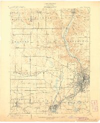
1901 Map of Canton
USGS Topo · Published 1958About this map
The industrial hub of Canton serves as the focal point of this 1901 survey, showcasing a dense grid of streets like Tuscarawas Street and Market Street long before the post-war suburban expansion. The surrounding landscape in Stark County is defined by a heavy concentration of rail lines, including the Pennsylvania System and the Wheeling and Lake Erie RR, which facilitated the movement of goods and people between outlying villages. To the north, the settlement of New Berlin is clearly visible, a community that would later be renamed North Canton.
Find a feature on this map
70 named features on this map. Tap any name to fly to it.
Don’t see what you’re looking for? This feature index may not catch every label — zoom into the map to look around manually.
Map Details
Editions of this 1901 Canton Map
This is the sole edition of this map. No revisions or reprints were ever made.
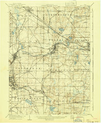
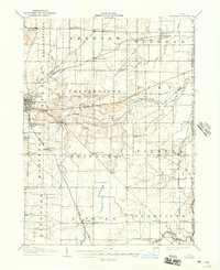
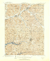
Other maps of this area

1901 · Massillon
USGS Topo · 1:62,500

1903 · Massillon
USGS Topo · 1:62,500

1903 · Canton
USGS Topo · 1:62,500

1903 · Akron
USGS Topo · 1:62,500
1905 · Akron
USGS Topo · 1:62,500
1906 · Kent
USGS Topo · 1:62,500

1906 · Ravenna
USGS Topo · 1:62,500
1908 · Ravenna
USGS Topo · 1:62,500

1909 · Alliance
USGS Topo · 1:62,500
1910 · Carrollton
USGS Topo · 1:62,500