
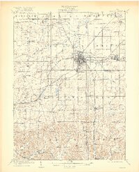
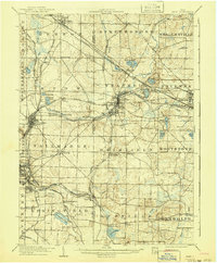
1909 Map of Alliance
USGS Topo · Published 1909About this map
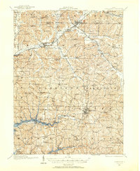
Alliance sits at the center of a complex intersection of late-industrial transportation networks, where the Pennsylvania System and the Lake Erie and Alliance railroads converge. This early twentieth-century survey captures the region as manufacturing and pottery industries were firmly established, particularly in the growth of Sebring and Beloit along the eastern rail lines. South of the main city, the institutional landscape is marked by the Childrens Home and Mt Union, while the rural surroundings of Washington and Knox townships are dotted with country institutions like Salem Church and Union Grove School. The map also traces the distinct hydrography of the upper Mahoning River and Deer Creek, along with the South Boundary Connecticut Reserve, a significant line in Ohio's early surveying history that still defined local property and political boundaries at this date.
Find a feature on this map
78 named features on this map. Tap any name to fly to it.
Don’t see what you’re looking for? This feature index may not catch every label — zoom into the map to look around manually.
Map Details
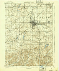
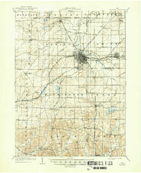
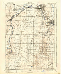
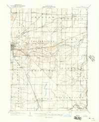
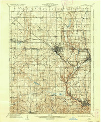
Editions of this 1909 Alliance Map
4 editions found
Other maps of this area

1901 · Canton
USGS Topo · 1:62,500

1903 · Canton
USGS Topo · 1:62,500
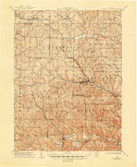
1905 · Salineville
USGS Topo · 1:62,500
1906 · Kent
USGS Topo · 1:62,500

1906 · Ravenna
USGS Topo · 1:62,500
1908 · Warren
USGS Topo · 1:62,500
1908 · Ravenna
USGS Topo · 1:62,500
1909 · Lisbon
USGS Topo · 1:62,500
1910 · Carrollton
USGS Topo · 1:62,500

1912 · Dover
USGS Topo · 1:62,500
Featured Places
- Alliance, OH
- Louisville, OH
- Paris, Paris Township
- Lexington, Lexington Township
- Marlboro, Marlboro Township