Loading...
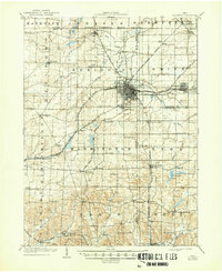
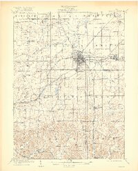
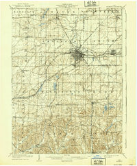
Loading map...1909 Map of Alliance
USGS Topo · Published 1948About this map
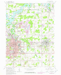
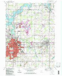
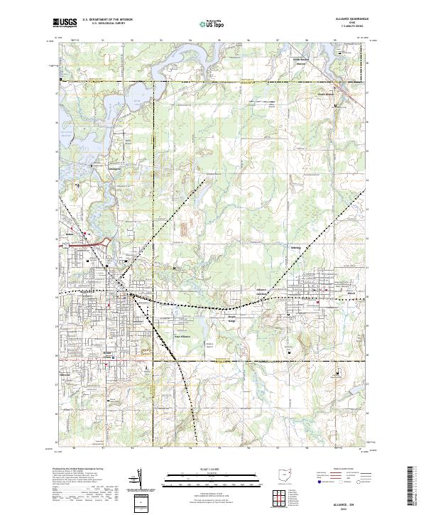
Alliance serves as the industrial and transportation nexus of this early twentieth-century landscape, where the Pennsylvania System and the Wheeling and Lake Erie railroads intersect. The presence of the Stark Electric interurban line further emphasizes the region's connectivity during a period of rapid development. To the south and west, the terrain transitions into a dense network of rural communities and educational landmarks, including the Linden Hall School and several Union Grove School locations.
Find a feature on this map
78 named features on this map. Tap any name to fly to it.
Don’t see what you’re looking for? This feature index may not catch every label — zoom into the map to look around manually.
Map Details
Date Portrayed1909
Date Published1948
PublisherU.S. Geological Survey
Map TypeTopographic
Scale1:62,500
Physical Dimensions17 x 20.9 inches
Editions of this 1909 Alliance Map
4 editions found

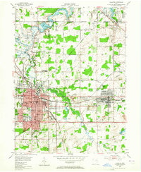
Historical Maps of Alliance Through Time
9 maps found
Featured Locations
- Alliance, OH
- Louisville, OH
- Paris, Paris Township
- Marlboro, Marlboro Township
- Lexington, Lexington Township
Source Details
SourceU.S. Geological Survey
CopyrightPublic Domain