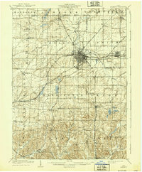
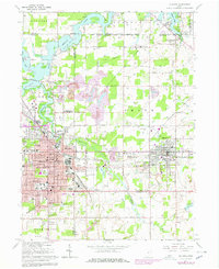
1909 Map of Alliance
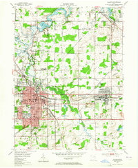
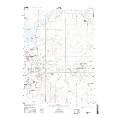
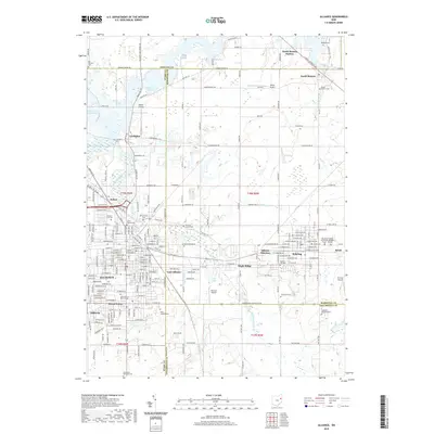
USGS Topo · Published 1939About this map
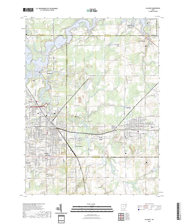
Alliance serves as the industrial and transportation hub of this region, situated at the busy intersection of the Pennsylvania System and the Lake Erie Alliance and Wheeling railroads. The survey, conducted in the early 1900s, reveals a landscape densely populated with rural institutions including the Childrens Home and multiple country schools like Pinch School and Prospect Hill School. To the east, Sebring and Beloit are clearly established along the rail lines, while smaller agrarian settlements like Freeburg and Maximo dot the western reaches.
Find a feature on this map
60 named features on this map. Tap any name to fly to it.
Don’t see what you’re looking for? This feature index may not catch every label — zoom into the map to look around manually.
Map Details
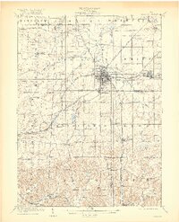
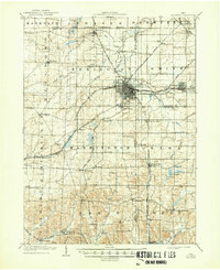
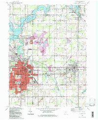
Editions of this 1909 Alliance Map
4 editions found

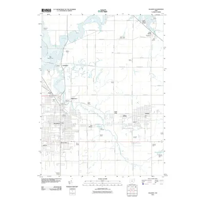
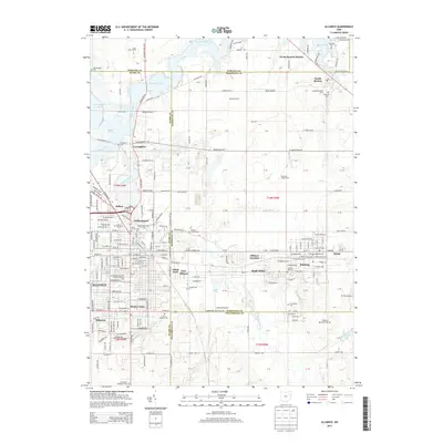
Historical Maps of Alliance Through Time
9 maps found
Featured Locations
- Alliance, OH
- Louisville, OH
- Paris, Paris Township
- Marlboro, Marlboro Township
- Lexington, Lexington Township