
Loading...
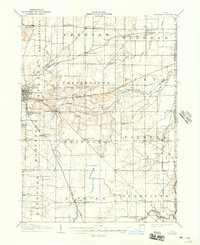
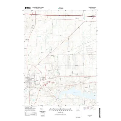
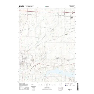
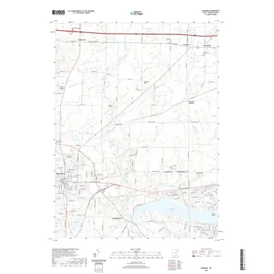
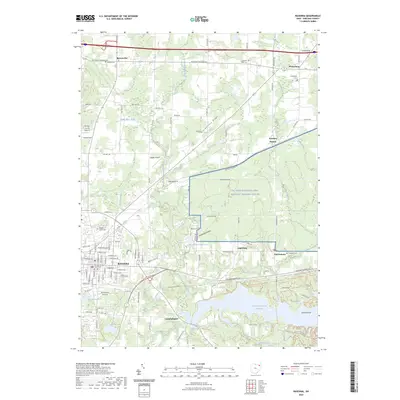
Loading map...1906 Map of Ravenna
USGS Topo · Published 1961About this map
Portage County at the dawn of the twentieth century was a landscape defined by its agricultural townships and a robust spiderweb of early railroads. The city of Ravenna serves as the hub for this area, where the Erie RR and Baltimore And Ohio RR intersect. Outside the primary settlements, the map reveals a rural topography dotted with neighborhood institutions like Whippoorwill School and Evergreen School.
Find a feature on this map
61 named features on this map. Tap any name to fly to it.
Don’t see what you’re looking for? This feature index may not catch every label — zoom into the map to look around manually.
Map Details
Date Portrayed1906
Date Published1961
PublisherU.S. Geological Survey
Map TypeTopographic
Scale1:62,500
Physical Dimensions17.1 x 20.9 inches
Editions of this 1906 Ravenna Map
This is the sole edition of this map. No revisions or reprints were ever made.
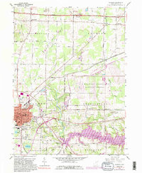
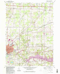
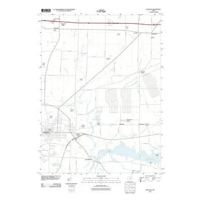
Historical Maps of Ravenna Through Time
9 maps found
Featured Locations
- Ravenna, OH
- Newton Township, OH
- Randolph, Randolph Township
- Rootstown, Rootstown Township
- Shalersville, Shalersville Township
Source Details
SourceU.S. Geological Survey
CopyrightPublic Domain