
1906 Map of Chagrin Falls
USGS Topo · Published 1955About this map
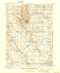
Chagrin Falls serves as the focal point of this early twentieth-century landscape, where the Chagrin River carves through the terrain of Orange and Russell townships. The mapping reveals a sophisticated transportation network at its peak, featuring the Cleveland and Garrettsville Electric RR alongside several major rail lines that connected these suburban and rural communities to the industrial centers of Ohio.
Find a feature on this map
52 named features on this map. Tap any name to fly to it.
Don’t see what you’re looking for? This feature index may not catch every label — zoom into the map to look around manually.
Map Details
Editions of this 1906 Chagrin Falls Map
This is the sole edition of this map. No revisions or reprints were ever made.
Historical Maps of Solon Through Time
10 maps found
1906 Chagrin Falls
Cuyahoga County, OH
1908 Chagrin Falls
Cuyahoga County, OH
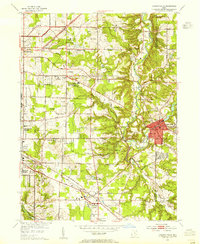
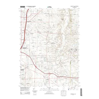
1953 Chagrin Falls
Cuyahoga County, OH

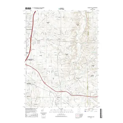
1963 Chagrin Falls
Cuyahoga County, OH
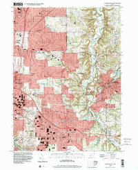
1994 Chagrin Falls
Cuyahoga County, OH
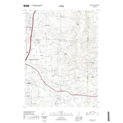
2010 Chagrin Falls
Cuyahoga County, OH
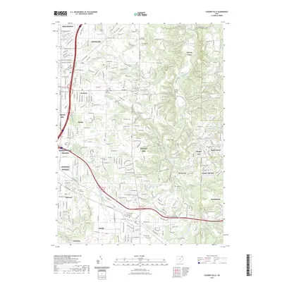
2013 Chagrin Falls
Cuyahoga County, OH
2016 Chagrin Falls
Cuyahoga County, OH
2019 Chagrin Falls
Cuyahoga County, OH
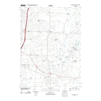
2023 Chagrin Falls
Cuyahoga County, OH