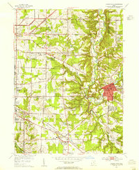
1903 Map of Euclid
USGS Topo · Published 1939About this map
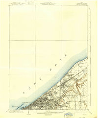
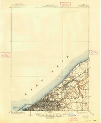
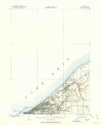
The industrial and recreational shoreline of Lake Erie defines this turn-of-the-century landscape east of Cleveland. Surveyed in 1901, the map captures a period of intense rail expansion, where the Lake Shore and Michigan Southern and the New York Chicago and St. Louis railroads cut through rapidly growing suburbs like Collinwood and Glenville. The map reveals a transition from urban density to summer retreats, evidenced by waterfront landmarks like Euclid Beach Park and Manhattan Beach. Further inland, the presence of Lake View Cemetery and the Garfield Tomb provides a focal point for local history near Euclid Heights. For researchers, the labels indicate vanished or absorbed neighborhoods such as Coits, Hamer, and the small settlement of Bluestone, offering a clear view of the city's outward sprawl toward South Euclid before the mid-century building boom.
Find a feature on this map
33 named features on this map. Tap any name to fly to it.
Don’t see what you’re looking for? This feature index may not catch every label — zoom into the map to look around manually.
Map Details
Editions of this 1903 Euclid Map
2 editions found
Other maps of this area
1901 · Euclid
USGS Topo · 1:62,500

1902 · Berea
USGS Topo · 1:62,500

1903 · Cleveland
USGS Topo · 1:62,500

1904 · Berea
USGS Topo · 1:62,500

1905 · Mentor
USGS Topo · 1:62,500

1906 · Chagrin Falls
USGS Topo · 1:62,500

1907 · Mentor
USGS Topo · 1:62,500
1908 · Chagrin Falls
USGS Topo · 1:62,500

1950 · Cleveland
USGS Topo · 1:250,000
1953 · Chagrin Falls
USGS Topo · 1:24,000