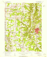
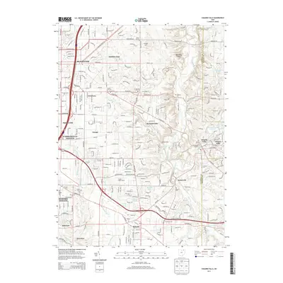
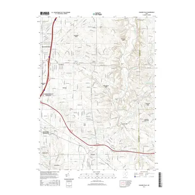
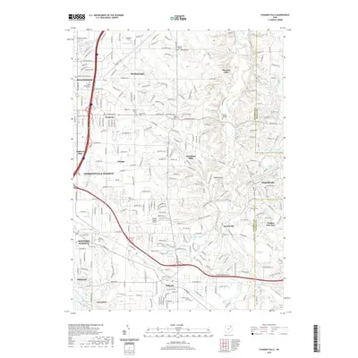
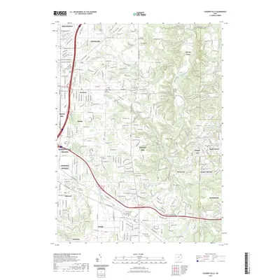
1953 Map of Chagrin Falls
USGS Topo · Published 1955About this map
The Chagrin River carves a deep valley through the eastern portion of this map, shaping the development of Chagrin Falls and neighboring Hunting Valley. During the mid-1950s, the landscape reflects a transition from rural estates to suburban development, characterized by numerous golf courses and country clubs like the Pepper Pike Country Club and Chagrin Valley Country Club. The presence of institutional landmarks such as the Beechbrook Orphanage and Windsor Hospital suggests a region defined by its specialized social and medical infrastructure.
Find a feature on this map
56 named features on this map. Tap any name to fly to it.
Don’t see what you’re looking for? This feature index may not catch every label — zoom into the map to look around manually.
Map Details
Editions of this 1953 Chagrin Falls Map
This is the sole edition of this map. No revisions or reprints were ever made.
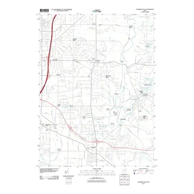
Historical Maps of Solon Through Time
10 maps found

1906 Chagrin Falls
Cuyahoga County, OH
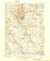
1908 Chagrin Falls
Cuyahoga County, OH
1953 Chagrin Falls
Cuyahoga County, OH

1963 Chagrin Falls
Cuyahoga County, OH
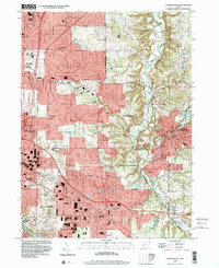
1994 Chagrin Falls
Cuyahoga County, OH
2010 Chagrin Falls
Cuyahoga County, OH
2013 Chagrin Falls
Cuyahoga County, OH
2016 Chagrin Falls
Cuyahoga County, OH
2019 Chagrin Falls
Cuyahoga County, OH
2023 Chagrin Falls
Cuyahoga County, OH