
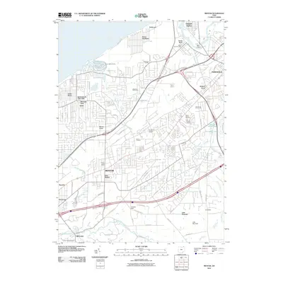
Loading...
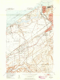
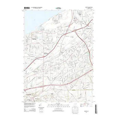
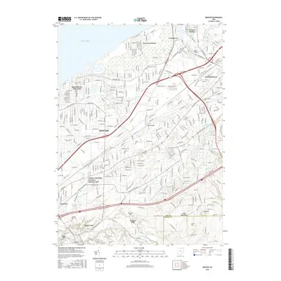
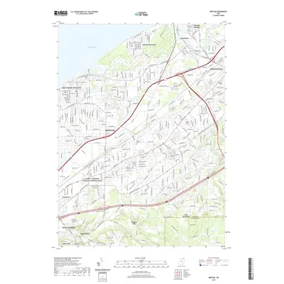
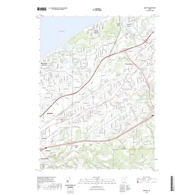
Loading map...1907 Map of Mentor
USGS Topo · Published 1947About this map
The Chagrin River and Grand River define the industrial and agricultural landscape of this Lake County region in the early 20th century. While Painesville and Willoughby serve as established centers, the map reveals a corridor of growth along the Electric RR and the Lake Shore and Michigan Southern, connecting lakeside communities like Wickliffe on the Lake and Salida Beach.
Find a feature on this map
54 named features on this map. Tap any name to fly to it.
Don’t see what you’re looking for? This feature index may not catch every label — zoom into the map to look around manually.
Map Details
Date Portrayed1907
Date Published1947
PublisherU.S. Geological Survey
Map TypeTopographic
Scale1:62,500
Physical Dimensions17 x 20.8 inches
Editions of this 1907 Mentor Map
This is the sole edition of this map. No revisions or reprints were ever made.
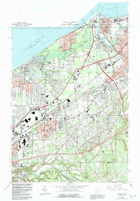
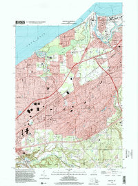
Historical Maps of Euclid Through Time
10 maps found

Featured Locations
Source Details
SourceU.S. Geological Survey
CopyrightPublic Domain