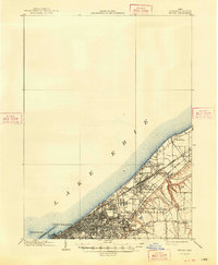
1901 Map of Euclid
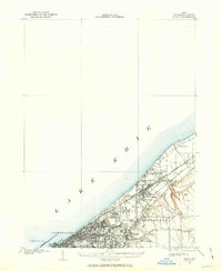
USGS Topo · Published 1963About this map
Cleveland and its eastern lakeshore suburbs appear here at the opening of the twentieth century, defined by a dense network of steam and electric railways. The shoreline of Lake Erie is already heavily developed, with prominent public spaces like Euclid Beach Park, Gordon Park, and Rockefeller Park framing the urban landscape. The industrial and residential growth follows the paths of the New York Chicago and other major rail lines, which cut through established communities such as Nottingham, Collinwood, and Glenville.
Find a feature on this map
37 named features on this map. Tap any name to fly to it.
Don’t see what you’re looking for? This feature index may not catch every label — zoom into the map to look around manually.
Map Details
Editions of this 1901 Euclid Map
This is the sole edition of this map. No revisions or reprints were ever made.