
1904 Map of Berea
USGS Topo · Published 1904About this map
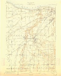
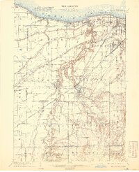
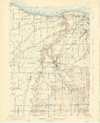
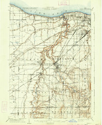
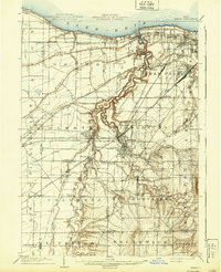
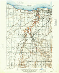
The Rocky River carves a dramatic, winding path through northern Ohio as it flows toward Lake Erie, defining the landscape of early 20th-century Middleburg and Olmsted. This survey captures the region just as the expansion of Cleveland began to reach westward, showing established settlements like Olmsted Falls and West Park alongside a dense network of transit that fueled this growth. The map illustrates the specialized infrastructure of the era, including the Lake Shore Electric Ry and the Elyria and Cleveland Electric Ry, which provided interurban connectivity alongside major steam lines like the Lake Shore and Michigan Southern RR.
Find a feature on this map
80 named features on this map. Tap any name to fly to it.
Don’t see what you’re looking for? This feature index may not catch every label — zoom into the map to look around manually.
Map Details
Editions of this 1904 Berea Map
7 editions found
Other maps of this area

1901 · Oberlin
USGS Topo · 1:62,500

1901 · Euclid
USGS Topo · 1:62,500

1902 · Berea
USGS Topo · 1:62,500

1903 · Cleveland
USGS Topo · 1:62,500

1903 · Euclid
USGS Topo · 1:62,500

1903 · Oberlin
USGS Topo · 1:62,500

1903 · Akron
USGS Topo · 1:62,500

1904 · Medina
USGS Topo · 1:62,500

1904 · Wellington
USGS Topo · 1:62,500

1905 · Akron
USGS Topo · 1:62,500